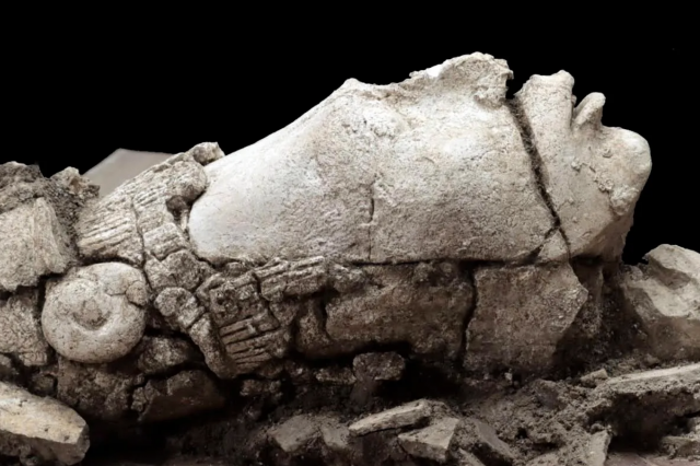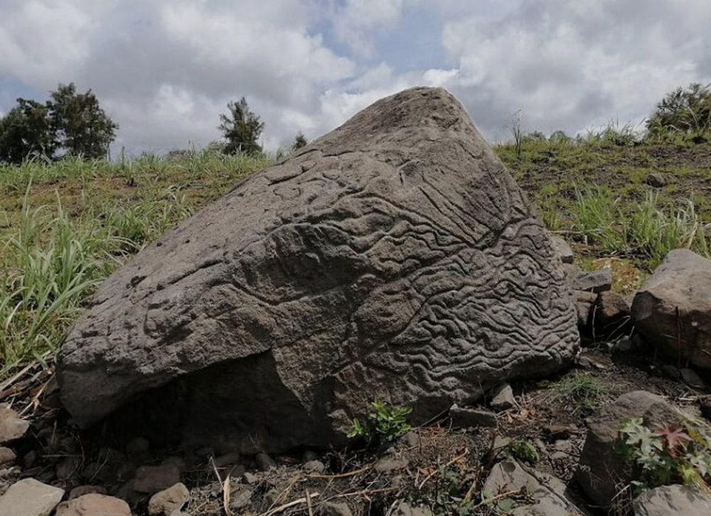
The massive rock was oriented specifically and points towards the volcano, located some 14 kilometers away.
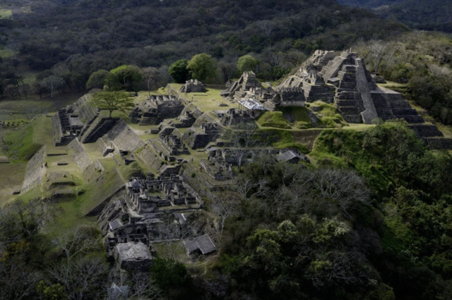
Two thousand two hundred years ago, an ancient people living in present day-Colima carved an intricate map on a massive piece of volcanic rock. It remained forgotten for millennia until archeologists from the Instituto Nacional de Antropología e Historia (INAH) stumbled across it and revealed it for the world to see. According to reports, the ancient map carved on the rock’s surface dates back to around 200 BC. It represents a regional map displaying ancient settlements that exists in present-day Colima.
An ancient map
These ancient settlements are believed to have been represented by a series of circles (carved indentions) connected by a series of lines. The map was carved on the surface of a basalt volcanic rock that likely originated from the Colima volcano, around 14 kilometers away from where it was found. The rock measures just over 1,7 meters in height and sits oriented towards the volcano to the northeast.
“The highest part of the stone, 1.70 meters high, with an irregular width of between 2.12 and 2.77 meters and a thickness of between 60 centimeters and 1.70, has an axis of approximately 20 degrees to the northeast. It is oriented to the Volcan del Fuego,” revealed INAH researchers in their report.
Contents of the Map
https://twitter.com/cultura_mx/status/1272575093785280514
As INAH archaeologists Julio Ignacio Martínez de la Rosa explained, researchers could identify the contents of the map after studying similar patterns and symbols in petroglyphs scattered in the area. The carved indentions on the stone’s surface represent settlements and cities, and a series of different lines and geometric features are believed to be markings illustrating the orthographic and hydrological features of the area.
The slope of a volcano?
The stone map was studied and analyzed by archeologist Rafael Platas Ruiz. According to the researchers, in addition to the map displaying ancient settlements of the region, certain features of the rock also seem to correspond to parts of the southern slope of the Colima volcano, such as rivers and valleys. In other words, the ancient stone map depicts Colima’s landscape between 2,000 and 2,200 years ago.
Explaining the discovery and the meaning of the stone map, Platas Ruiz emphasized that “these ‘map stones’ served to understand and facilitate the administration of the land. Furthermore, they were a way of preserving knowledge from one period to another, at a time when writing did not exist in the territory that is present-day Colima.”
In the report of the archaeological investigation, the researchers explain that the volcanic rock features at least three engraving techniques, “polishing, pecking, and wear,” are appreciated. Those techniques were used to represent the orographic and geographical landscape of the volcano’s southern slope, crossed by ravines, runoffs, and rivers that descend from the geological promontory. Although the rock itself was not dated, researchers were able to compare its contents and symbols to other similar petroglyphs and geoglyphs in the area, which allowed them to draw a comparison between symbols, petroglyphs, and ancient art from the Late Preclassic and Early Classic periods between 200 BC and AD 200, to the contents drawn on the stone.
Have something to add? Visit Curiosmos on Facebook. Join the discussion in our mobile Telegram group