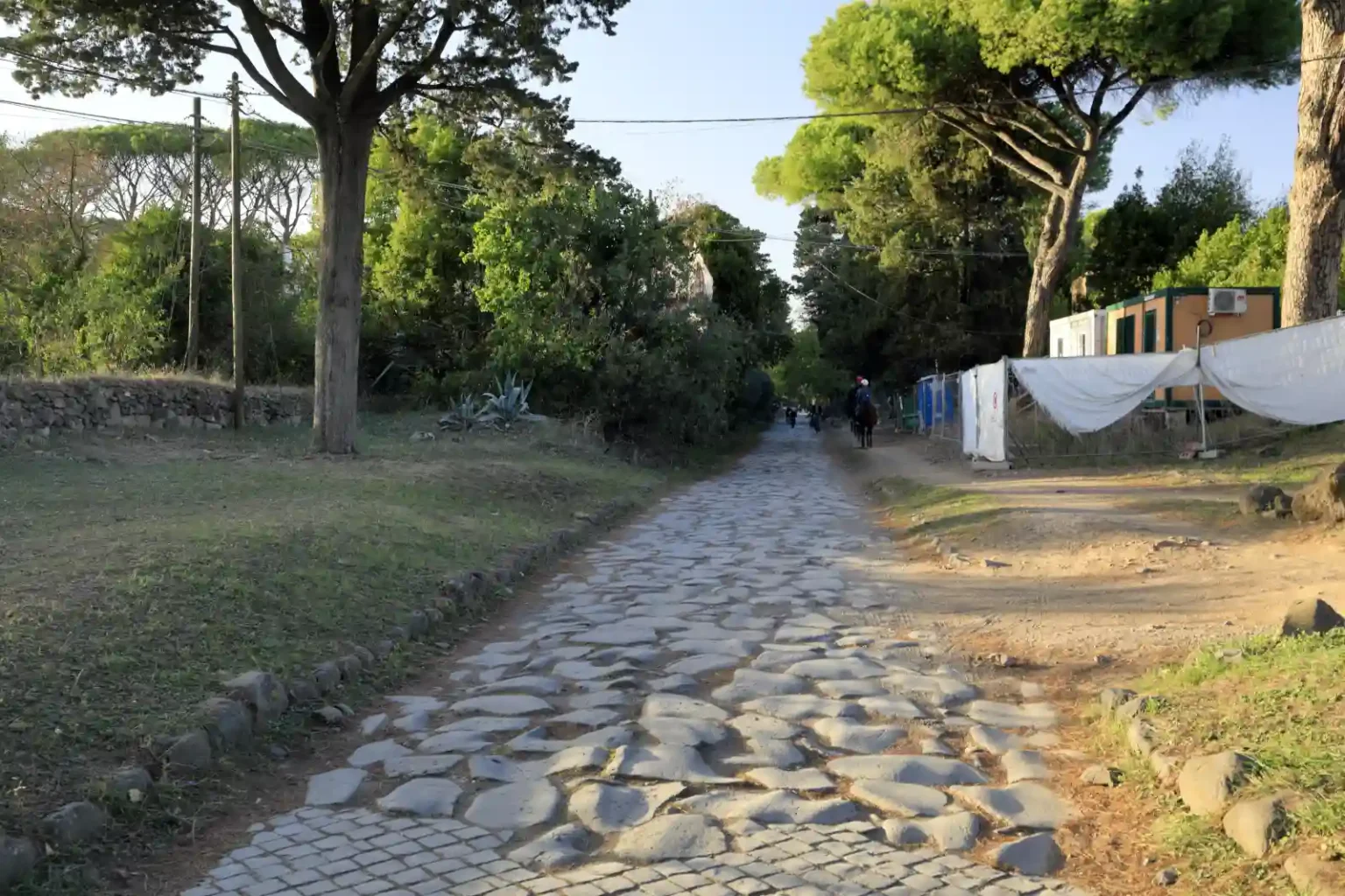
In the era of the Republic, the Romans began to build paved roads, gradually covering not only Italy but also numerous provinces. Most often, these were relatively straight roads between important settlements, which made it possible to quickly move to the desired place.
Stand beside a surviving Roman road and a question almost asks itself: how did surveyors turn measurements made with rods, sights and hanging weights into routes that still mark the landscape?
The work began before the first surface was laid. A surveyor had to establish a direction, measure distance and understand changes in height. These were separate problems, calling for different instruments and careful judgment on the ground.
Ancient Roman Tools
Five instruments help explain the surveyor’s work: the groma, chorobates, dioptra, a plumb-line level and the decempeda. Evidence comes from surviving objects, ancient descriptions and reconstructions. Some of the fullest descriptions concern aqueducts, so they illuminate the wider engineering toolkit rather than document the equipment used on every road.
1. Groma: setting out right angles
The groma helped surveyors set out straight alignments and right angles. Its crossed arms and hanging plumb lines turned a simple geometric relationship into something a worker could sight across the ground.
The Science Museum Group explains the principle: sight along one pair of opposite plumb lines, and the other pair establishes a perpendicular direction. The cross does not itself tell the operator where north lies. It lets a chosen alignment be extended or crossed at a right angle. The museum also holds an Egyptian predecessor from the first or second century BCE, with missing parts reconstructed.
2. Chorobates: finding a horizontal reference
The chorobates combined a long supported beam with plumb lines and a water-filled groove. As Kenneth D. Matthews explains in Penn Museum’s account of Roman aqueducts, the operator compared the hanging lines with marks on the frame. If wind disturbed them, water reaching the groove’s edges evenly provided another way to establish a level.
Imagine trying to give an aqueduct a controlled fall across uneven country. Before comparing one height with another, the surveyor needed a dependable horizontal reference. The water was a level indicator, not a miniature channel demonstrating the eventual direction of flow.
3. Dioptra: sighting and measuring angles
A dioptra used sights to establish a line toward an object. Museo Galileo explains that the name covered instruments with sighting apertures; a rotating sighting rule, or alidade, could be read against an angular scale. The term therefore describes a family of sighting devices whose designs could differ.
The distinction from the groma is useful: setting out a right angle and measuring an angle between two directions are different tasks. That opens up a wider range of geometric problems: how far does a line turn, and how does one direction relate to another?
4. Plumb-line level: making gravity useful
A triangular wooden frame and a suspended weight could provide a level reference. When its base was horizontal, the cord lined up with the central reference mark. Penn Museum describes this carpenter’s level and illustrates one carved on a Roman sarcophagus from Arles.
The tool makes an elegant idea visible: gravity supplies a vertical line against which a carefully made frame can be checked. Often grouped with ancient inclinometers in modern descriptions, this builder’s level shows how a few pieces of wood and a weight could turn an invisible vertical reference into a practical check.
5. Decempeda: measuring a repeatable distance
The decempeda was a ten-Roman-foot measuring rod, discussed in Richard Hucker’s study of Roman aqueduct surveying. It supplied a repeatable length. Knowing a direction is only part of laying out a route; workers also need a way to mark and compare distances along it.
How Roman roads were built to withstand time
Construction depended on the ground and available materials. In English Heritage’s account of Roman Britain, a common arrangement was a raised bank, or agger, built from stone or gravel, with finer material forming the surface. Soft ground could require timber and brushwood underneath. Side ditches carried water away.
There was no single cross-section for every Roman road. Near Catterick, Dere Street included successive spreads of gravel over a shallow bank. That example shows why a diagram of thick stone layers cannot explain the whole network: builders adapted the structure to a particular place.
The road network connected forts, towns and ports, while older tracks continued to serve local journeys. Its reach was one of Rome’s great engineering achievements, but it also needed attention. English Heritage cites a Vindolanda writing tablet recording delayed supplies because the roads were in poor condition.
That detail brings the builders closer to us. Surveying a line was only the beginning; keeping a route usable was an ongoing task. When we admire the surviving stones, what else should we look for—the drains, the ground beneath them, the repairs, or the decisions that kept people moving through a difficult landscape?