The European Space Agency’s Sentinel-1C satellite has marked a milestone just days after launch by capturing its first radar images of Earth. These images provide a glimpse into the satellite’s potential for environmental monitoring and disaster response, showcasing its advanced technological capabilities. The featured regions include Svalbard in Norway, the Netherlands, and Brussels, Belgium.
Launched on December 5 from Europe’s Spaceport in French Guiana, Sentinel-1C is the latest addition to the Copernicus program. The satellite carries a sophisticated C-band synthetic aperture radar (SAR) instrument, enabling it to capture high-resolution imagery regardless of weather conditions or time of day. Its primary mission is to support vital activities such as tracking climate change, managing natural resources, and responding to disasters.

Within just 56 hours of liftoff, Sentinel-1C delivered its first processed radar image—a detailed view of Svalbard. This remote Arctic archipelago plays a critical role in understanding climate change, as its icy landscapes are particularly sensitive to global warming. The satellite’s ability to monitor such isolated regions will provide valuable insights into polar ecosystems and improve navigation safety in the Arctic.
Exploring Europe Through Advanced Radar Imaging

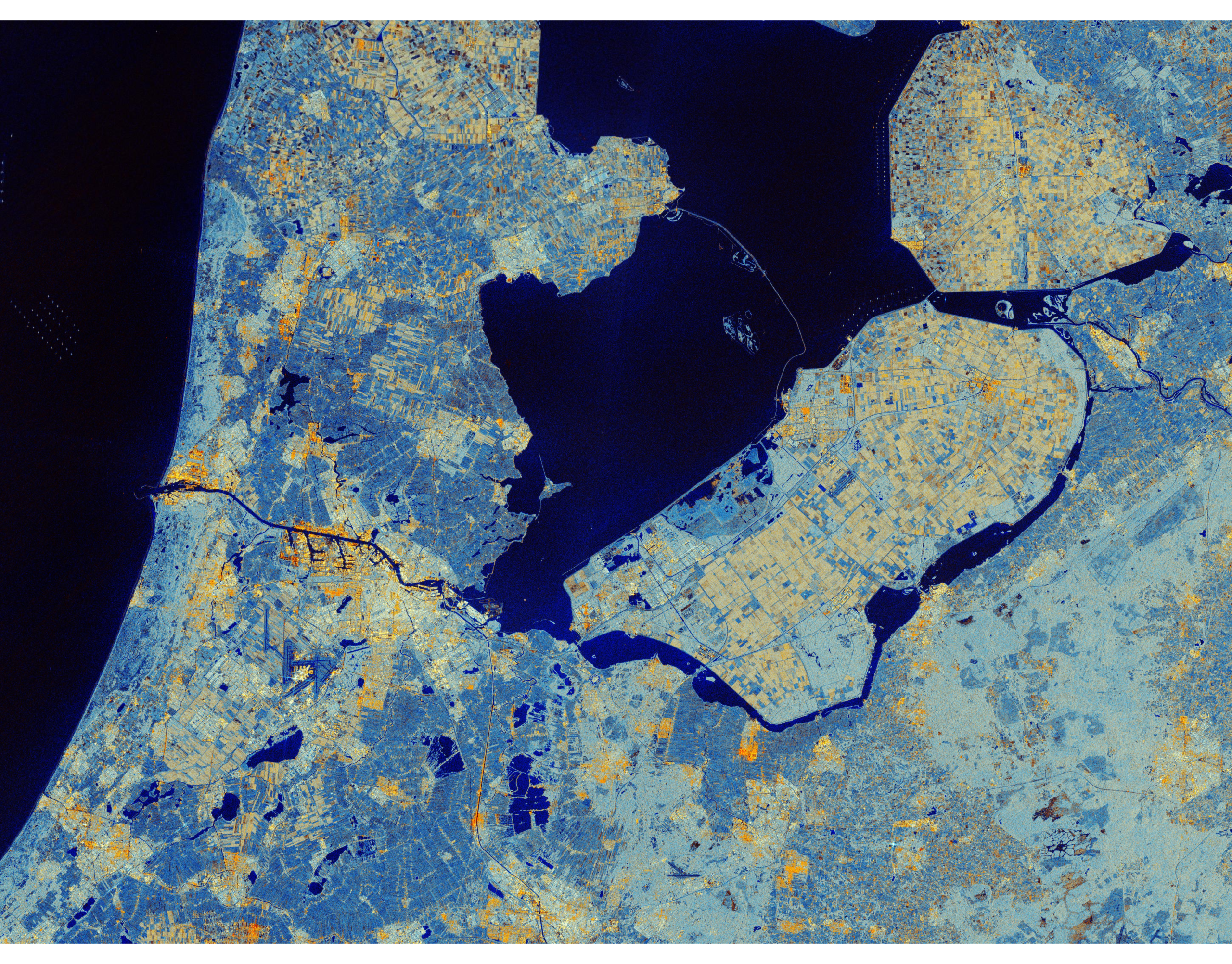
Sentinel-1C’s radar capabilities were further demonstrated in images of the Netherlands and Belgium. One image focuses on Flevoland, a region celebrated for its innovative water management and agricultural practices. The data captured by Sentinel-1C offers detailed information on soil moisture and crop health, which is essential for sustainable farming in this densely populated area.
Interestingly, this image echoes a historic milestone: the first SAR image ever taken by the European Remote-Sensing (ERS) satellite in 1991 also featured Flevoland. This continuity underscores Europe’s leadership in radar-based Earth observation.
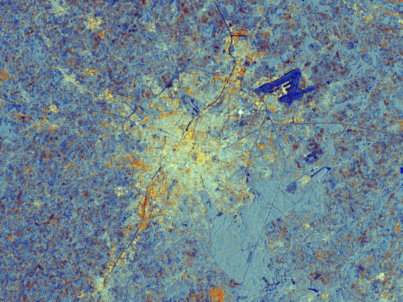
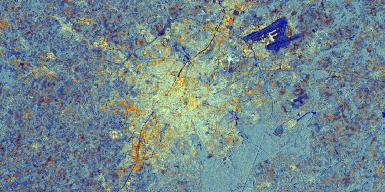
In another image, Brussels, Belgium, comes to life through bright radar reflections highlighting urban structures and contrasting with darker areas such as vegetation and waterways. These vivid details demonstrate the satellite’s ability to monitor urbanization and support urban planning.

Sentinel-1C’s Role in a Changing World
Although still in its commissioning phase, Sentinel-1C has already activated its 12-meter radar antenna and solar panels, paving the way for full operational status. These early achievements highlight the satellite’s potential to address a wide range of global challenges.
“Sentinel-1C is ready to continue the essential work of its predecessors,” said Ramon Torres, ESA’s Project Manager for the Sentinel-1 mission. “From monitoring ship movements across oceans to tracking subtle changes in Earth’s surface, this mission represents a renewal of our commitment to understanding our planet.”
Sentinel-1C’s data will contribute significantly to the Copernicus program, supporting initiatives such as Arctic ice mapping, tracking glaciers, and monitoring ground deformation caused by natural disasters. Its applications extend to marine surveillance, forest mapping, and even humanitarian efforts like crisis response and illegal fishing prevention.
All data from Sentinel-1C is freely accessible through the Copernicus Data Space Ecosystem, ensuring that researchers, policymakers, and the public can benefit from this wealth of information.


