Researchers have discovered evidence of "long lost" islands detailed in Welsh mythology in a faded medieval map of Britain.
A faded medieval map of Britain may reveal evidence of “long lost” islands detailed in Welsh mythology, a new study finds. The 650-year-old map shows two long-lost islands, now-submerged lands that legend attributes to a “Welsh Atlantis.”
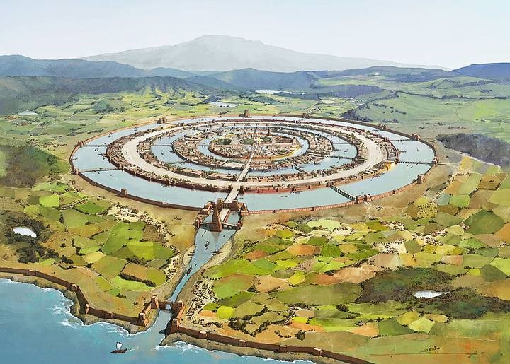
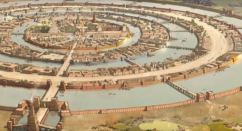
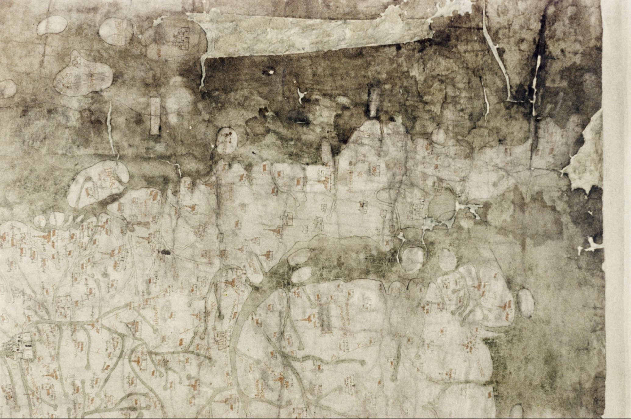
After studying the 650-year-old Gough map (you can see the map here), now housed in the Bodleian Library at Oxford University, the researchers discovered a series of “missing” islands. According to Simon Haslett and Davis Willis, in a study published in the journal Atlantic Geoscience, two islands no longer exist in the area known as Cardigan Bay in Wales. According to Welsh mythology, these islands were the remains of a much larger land that existed before the 14th century, when the map was drawn by a cartographer. In Welsh mythology, this lad was referred to as Cantre’r Gwaelod or Maes Gwyddno. A mythological account says that this land was eventually swallowed up by the ocean over centuries because of erosion.
Before the ocean washed away Cantre’r Gwaelod, Welsh mythology states that it had a ruler. Haslett, an honorary professor of science and engineering at Swansea University in Wales, explained that Gwyddno was the ruler of Cantre’r Gwaelod in recent folklore, and the flooding was caused by Seithiennin, a drunken gatekeeper.
Moreover, the authors discovered that the ancient writer Ptolemy wrote coordinates in his Geographia that suggest Cardigan Bay used to be further west than it is today, indicating that the shoreline of the Bay was probably further out than it is currently. Willis, a Celtic professor at Oxford University’s Jesus College, says Ptolemy’s description suggests substantial erosion of the Welsh coastline over millennia. During Ptolemy’s time, the mouth of the River Ystwyth was farther west than it is today. If this is true, then we might expect the river to have flowed through a landscape that lay west of the coast,” said Haslett.
It was also observed that shoreline erosion continues today in Cardigan Bay, with coastal sediments soft enough to be gradually eroded by the ocean. The British monk Gildas wrote about the unforgiving sea in his Latin sermon On the Ruin and Conquest of Britain in the 6th century. An invading force and an unruly sea surrounded the people who lived near the bay in Gildas’ sermon.
Gildas described the plight of those trapped in the conflict this way: they push us into the sea; the sea throws us back on the barbarians. Therefore, we have two options, die or drown. In this writing, Haslett and Willis speculate that a storm surge or tsunami might have worsened erosion, resulting in flooding of a significant amount of land. There is still an ongoing investigation and more evidence of this lost land may be discovered in the future. A survey along the Cardigan Bay shoreline will be carried out to see if more information can be gathered on post-glacial shoreline evolution, Haslett added.
Join the discussion and participate in awesome giveaways in our mobile Telegram group. Join Curiosmos on Telegram Today. t.me/Curiosmos