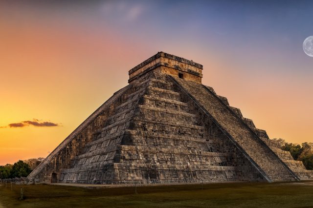
LiDAR technology has helped scientists peer beneath the dense jungle and "see" thousands of structures, intricately connected and built thousands of years ago.
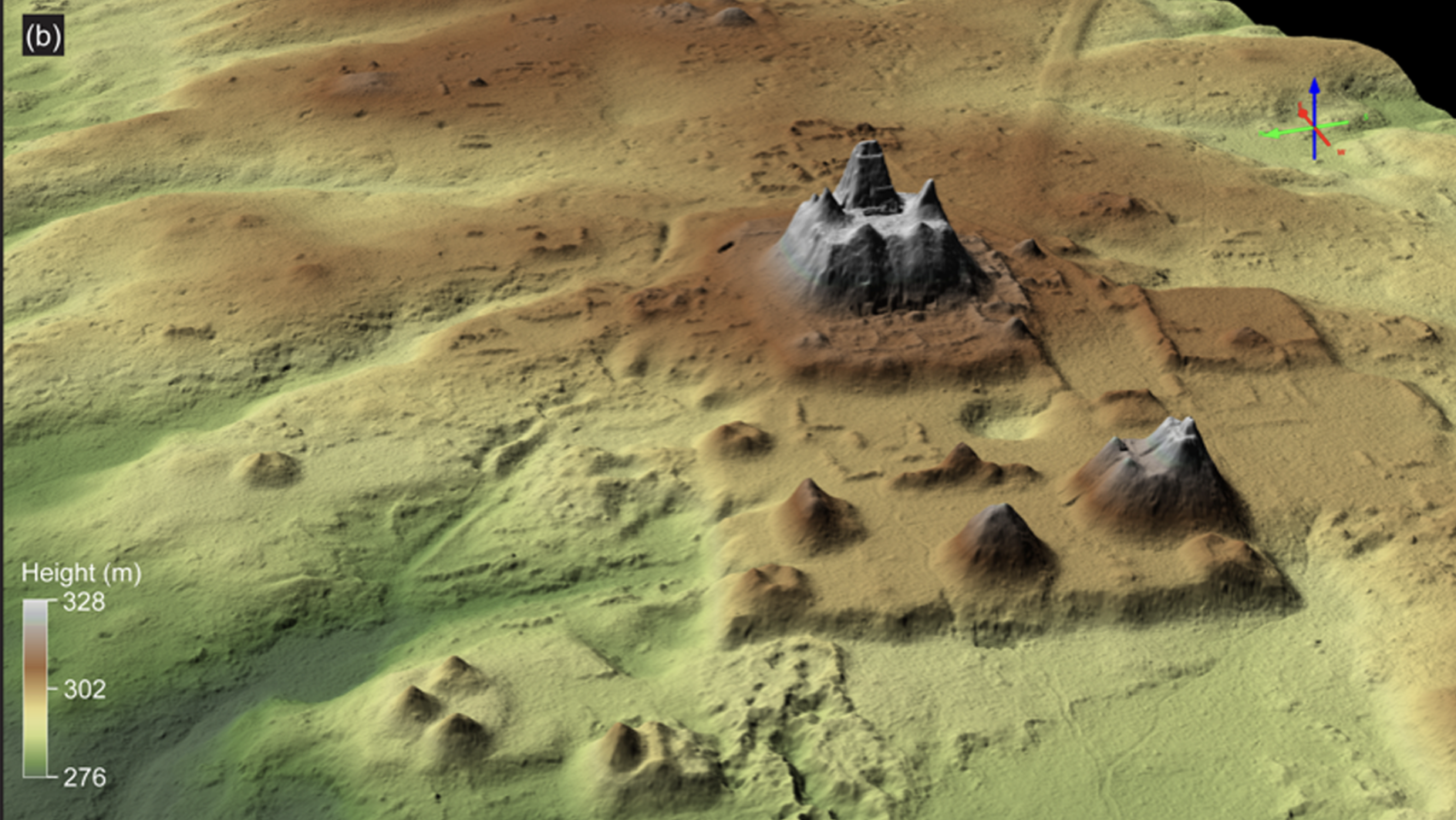
Much of the ancient world on the American continent remains hidden beneath the surface of the dense jungles. But a new survey has revealed a surprising discovery. Countless ruins of a major civilization that flourished in parts of present-day Guatemala more than two millennia ago. This lost ancient network is composed of thousands of ancient structures, all intricately interconnected by a series of roadways. The discovery of this immense network was revealed thanks to a LiDAR survey in Guatemala’s Mirador-Calakmul (MCKB) karst basin. And it “challenges the longstanding notion of sparse early human occupation” in this area during the Preclassic period.
One massive study
Experts were led by archaeologist Richard Hansen from Idaho State University. Hansens is in charge of the Mirador Basin Project. They performed what is considered “one of the largest contiguous regional LiDAR studies published to date in the Maya Lowlands.” This is a region enfolding parts of Mexico, Guatemala, and Belize. What LiDAR revealed was genuinely fascinating. The survey allowed scientists to peer beneath the thick forest canopy and see an extraordinary density and distribution of ancient Maya structures. Many of these ancient sites are both directly and indirectly interconnected. Scientists found more than 177 kilometers of elevated roads and intricate “highways.”
Advanced Civilization
Scientists further note that the level of structures hints at what they say is labor investments that challenge the organizational capabilities of lesser polities. In fact, what experts found beneath the forest pointed toward clear and structured governance strategies during the Preclassic Period. In other words, instead of having unorganized people, we see the ancient Maya were highly structured and advanced in terms of organization, far more so than attributed to this day.
Why LiDAR
LiDAR has dramatically changed and influenced archeology, as well as many other fields. LiDAR essentially works by bouncing lasers from the surface, allowing experts to come up with detailed maps that show what exactly is located beneath the surface or rainforest. In fact, we could say that LiDAR scanning has revolutionized archaeology. This is mostly because it can expose signs of past human activity that may have remained buried under dense vegetation or otherwise not detectable with traditional archeological fieldwork. LiDAR has previously helped scientists make fascinating discoveries, as you can see in previous articles I have covered here and here. You can read more about the recent study here.
Have something to add? Visit Curiosmos on Facebook. Join the discussion in our mobile Telegram group