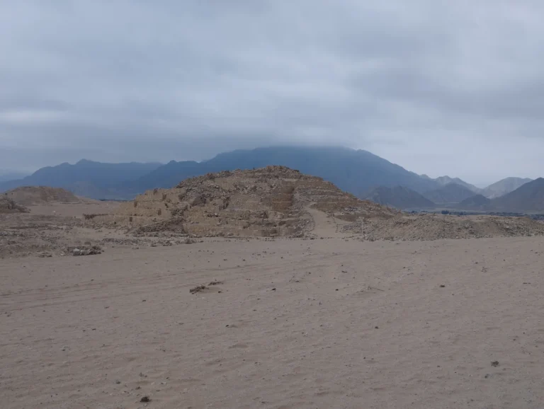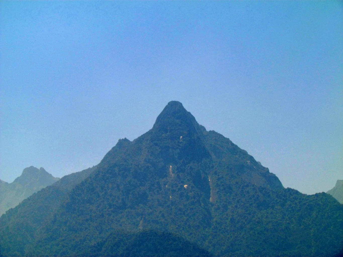
A narrow path disappearing into the forest across from Machu Picchu has helped archaeologists trace more than 2.5 kilometres of previously unrecorded roads. The routes wind through the slopes of Yanantin, where thick vegetation hides terraces, platforms and other traces of people who shaped the mountainside.
The Polish-Peruvian survey took place in July and August 2026. In a September 15 interview with PAP’s Science in Poland service, University of Warsaw archaeologist Mariusz Ziółkowski described drone-mounted laser scanning that revealed routes in the Mandor area, opposite the main citadel. One narrow path was already known to local people; the survey connected that ground-level knowledge with a much wider map.
The roads’ zigzag layout fits Inca engineering, although their construction dates remain unsettled. Some could have existed earlier and been reused. Researchers plan further mapping and hope to obtain permission for small excavations. Exact locations are being withheld to protect the remains.
Machu Picchu extends beyond the famous ridge
The familiar view of Machu Picchu encourages us to picture a place perched above the world: stone buildings, green terraces and steep peaks. But a settlement needs ways in and out. Following those routes can change our understanding of where its inhabitants worked, travelled and met other communities.
UNESCO’s description of the Historic Sanctuary already places the citadel within a broad cultural landscape. The protected property covers 32,592 hectares, including mountain slopes and valleys. Alongside the approximately 200 structures on the main ridge are subsidiary centres, irrigation works, terraces and trails.
The new survey therefore offers a chance to fill a specific gap in that landscape. How were the slopes across the river connected to the citadel’s surroundings? A road that reaches a terrace suggests a different journey from one that continues past it. Mapping junctions and endpoints could help archaeologists distinguish local access paths from longer routes.
How laser pulses find a path beneath trees
LiDAR measures distance by sending laser pulses and timing their return. Many pulses strike leaves or branches. Others pass through gaps and reach the ground. Position and direction measurements allow those returns to be assembled into a three-dimensional model.
As the U.S. Geological Survey explains, this makes it possible to map surfaces concealed by vegetation. Processing separates ground returns from those coming from the canopy. The result can expose a shallow terrace edge or a regular line that someone walking through the same forest might never notice.
Curiosmos previously covered a LiDAR survey at Wat’a, a separate Peruvian site. The Yanantin work concerns different routes and a different field campaign.
A terrain model still needs an archaeological interpretation. A line is not automatically a road, and its shape supplies no construction date. Field inspection can establish whether it has retaining walls or a deliberately prepared surface. Excavation may recover material associated with its construction or use, although a loose object nearby would not necessarily date the path itself.
Roads can preserve several chapters of history
The Qhapaq Ñan road system provides a useful comparison. UNESCO describes a vast Andean network that reached its greatest extent under the Inca in the fifteenth century, while incorporating infrastructure developed over earlier centuries. Its routes supported communication, trade, storage, administration and religious activity.
That history leaves room for more than one explanation at Yanantin. An Inca-looking route might have been newly built, adapted from an older path or repaired repeatedly. Different stretches could have different histories. Dating one exposed section would not settle the age of every road in the survey.
The most revealing next step would be to compare road junctions, terraces and structures together. If their construction and use overlapped, archaeologists could begin reconstructing a connected working landscape. If they belong to different periods, the same map could instead show how successive communities reused the mountain.
For now, the forest has yielded routes that deserve that closer examination. The question is where they led—and how many generations followed them before vegetation covered their edges.