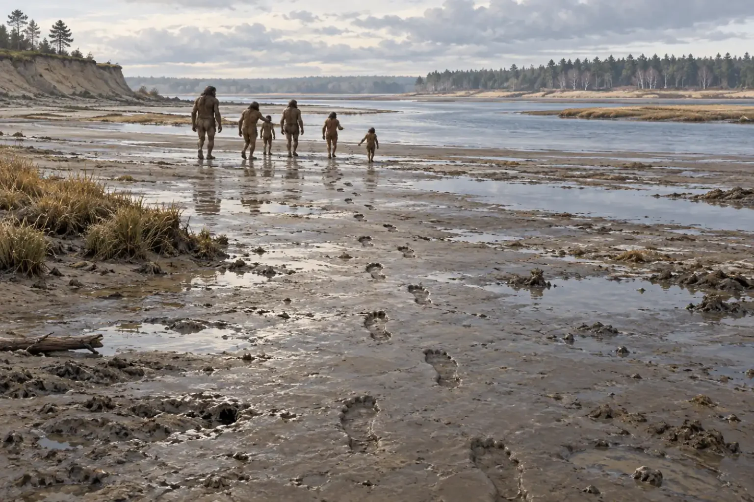
The Happisburgh footprints appeared in the mud at low tide. In May 2013, researchers found a patch of elongated hollows on the Norfolk coast: a few showed the curve of an arch, and one preserved traces of toes. Within weeks, the sea had worn the surface away.
What survived was a set of overlapping photographs and a three-dimensional model. Together, they preserve a brief walk beside an ancient estuary, nearly a million years before the modern coastline took shape.
A trackway with only weeks to spare
The exposed patch covered about 12 square metres. The team photographed it from many angles and used photogrammetry to combine the images into a measurable 3D model. They later tried laser scanning, but the tide had already softened the prints. The photographs made first were the clearest record.
Twelve hollows had outlines sharp enough for detailed measurements. They ranged from about 14 to 26 centimetres long. Their shape and direction suggested that hominins had walked south across the mudflats beside the river. Differences in size point to at least five people, probably adults and younger members of a group.
A trackway gives us a route, not a reason. The walkers might have been following the shore, crossing the estuary or heading somewhere beyond it. The prints do not say what they were looking for.
Dating the Happisburgh footprints
The prints lay in estuary silt assigned to the Early Pleistocene Hill House Formation. The print-bearing deposits date broadly to between about 1 million and 780,000 years ago. That range belongs to the layer, not to a particular day or season when the group crossed it.
Researchers date the site by examining the order of the geological layers, the fossil plants and animals in them and other evidence from the landscape. A separate 2010 study of Happisburgh sediments and stone tools placed human occupation in northern Europe more than 780,000 years ago. The Natural History Museum gives a rounded age of about 900,000 years for nearby Happisburgh Site 3. That shorthand is useful, but the wider geological range is more precise about what the footprint study can establish.
Who walked across the mud?
The makers were hominins, but no bones were found with these prints, so their species is unknown. Researchers estimated heights of roughly 0.93 to 1.73 metres from the trackway. Those estimates overlap with the range known for Homo antecessor, whose fossils come from Atapuerca in Spain. It is one possible match, not an identification.
Prints preserve a different kind of evidence from a skull or tooth. Their size and shape record feet pressing into soft ground; several sizes in one trackway suggest people of different ages were together. We cannot tell from those marks whether they were a family, how long they stopped there or where they had come from.
Curiosmos has also looked at the search for the oldest human footprints. Happisburgh gives that story a particular setting: a group moving along a river edge in a northern landscape, where evidence for such early occupation is rare.
A different Britain, joined to Europe
At Happisburgh Site 3, the surrounding sediments point to a slow-moving river near an estuary. Grassland and conifer woodland grew nearby. Britain was then joined to continental Europe by land, and the wider site preserves stone tools as well as plant and animal remains.
The trackway fits into that landscape without explaining every part of the walkers’ lives. It captures them passing through, not where they slept, what they ate or whether they knew the route well. Still, the scale is easy to picture: several people crossing wet ground, their footprints filling with silt before the next tide reached the shore.
That patch of mud lasted only a few weeks in 2013. The measurements and photographs now let researchers study the prints after the surface itself is gone.
Sources and further reading
- Ashton et al., “Hominin Footprints from Early Pleistocene Deposits at Happisburgh, UK,” PLOS ONE (2014)
- Parfitt et al., “Early Pleistocene human occupation at the edge of the boreal zone in northwest Europe,” Nature (2010)
- Natural History Museum, “Pioneering populations”
- St Andrews Research Repository, study record
- British Museum, “First pioneers in northern Europe”