How did ancient people navigate without modern maps? They did not rely on one magical instrument or a single star. Travellers learned the shape of a coastline, the direction of seasonal winds, the timing of currents, the position of the Sun and the pattern of familiar stars. Navigation was a practical skill built from observation, memory and repeated journeys.
Some of the knowledge was written down. Much of it was carried in stories, songs, routes and apprenticeship. A navigator knew where a place was and what the sea felt like on the way there: which birds appeared, where the water changed colour, when a mountain should rise above the horizon, and how long a crossing normally took.
The Sun gave direction and time
During the day, the Sun’s path offered a broad compass. Its rising and setting points shift through the year, while its height changes with latitude and season. A traveller could use shadows to estimate direction and the passage of time. Simple devices such as gnomons, sighting staffs and later instruments made those observations more repeatable.
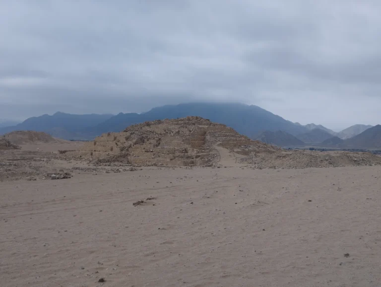
The Sun was also tied to the landscape. Ancient observatories such as Chankillo in Peru appear to have marked seasonal positions of sunrise along a nearby ridge. A monument did not need to be a ship’s instrument to be part of a culture’s navigational knowledge. It helped communities organise the year and understand where the horizon was.
The stars made a moving map
Stars are useful because their patterns return with the seasons. In the northern hemisphere, the stars around the celestial pole appear to turn around a nearly fixed point in the sky. In the southern hemisphere, different star paths provide other reference points. A navigator could estimate latitude by the height of a star above the horizon, although the method required practice and a clear view.
Star knowledge was never just a list of constellations. The rising and setting of particular stars could signal a season, a wind change or the right time to begin a journey. The same sky served as a calendar, a direction finder and a memory aid.
Coasts, currents and living signs
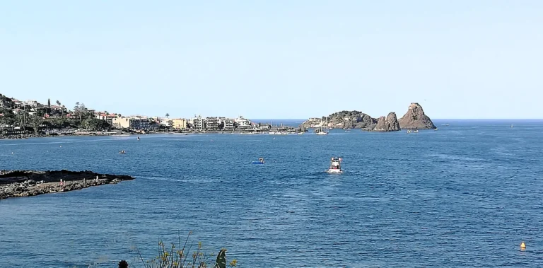
Most ancient travel took place within landscapes that supplied clues. A shoreline could be followed from headland to headland. Rivers, mountain passes and desert wells created a sequence of known points. At sea, waves and swells could reveal direction even when clouds hid the stars. Experienced sailors watched birds, floating plants, fish, clouds and changes in water temperature to judge their position.
Traditional Pacific wayfinders developed especially sophisticated systems for open-ocean travel. They memorised star paths, swell patterns and island relationships, using a mental chart rather than a paper map. The skill was communal: knowledge was taught, tested and adjusted through voyages.
What ancient maps leave out
A surviving map often looks less precise than the knowledge it represented. A clay tablet, painted route or medieval portolan chart records selected places, not every observation made on a journey. The absence of a drawn coastline does not prove that travellers lacked a route. Maps served political, religious and administrative purposes as well as travel.
Navigation also involved uncertainty. Storms changed a route, a familiar landmark disappeared in fog, and a dead reckoning position could drift over a long voyage. Travellers reduced that risk by repeating routes, travelling with local pilots and treating the environment as a set of signals rather than a blank space.
Simple instruments sharpened the sky
Travellers did not always rely on memory alone. The gnomon, a vertical stick that casts a shadow, could mark noon and the changing seasons. A simple sighting tool could compare the height of a star above the horizon. Later instruments such as the astrolabe and the kamal made those observations more portable, but they built on older habits of measuring angles and keeping a record of time.
On land, navigation followed the practical rhythm of a route. A caravan planned its stages around water, grazing and shelter. River travellers used the current on one leg and the bank, stars or landmarks on the return. The map was a set of instructions about when to leave, where to turn and which signs meant that a destination was close.
Before satellites placed a location on a screen, people found their way by reading relationships: the angle of a star, the direction of a swell, the shape of a hill and the memory of another person’s journey. Ancient navigation was not a primitive version of GPS. It was a different kind of map, stored in the sky, the sea and the mind.
At some sites, sky-watching became architecture. The Chankillo observatory is a vivid example of people turning the horizon into a calendar and a navigational reference.
Sources and further reading: Smithsonian Ocean: Ways of navigating the ocean; Encyclopaedia Britannica: Navigation.