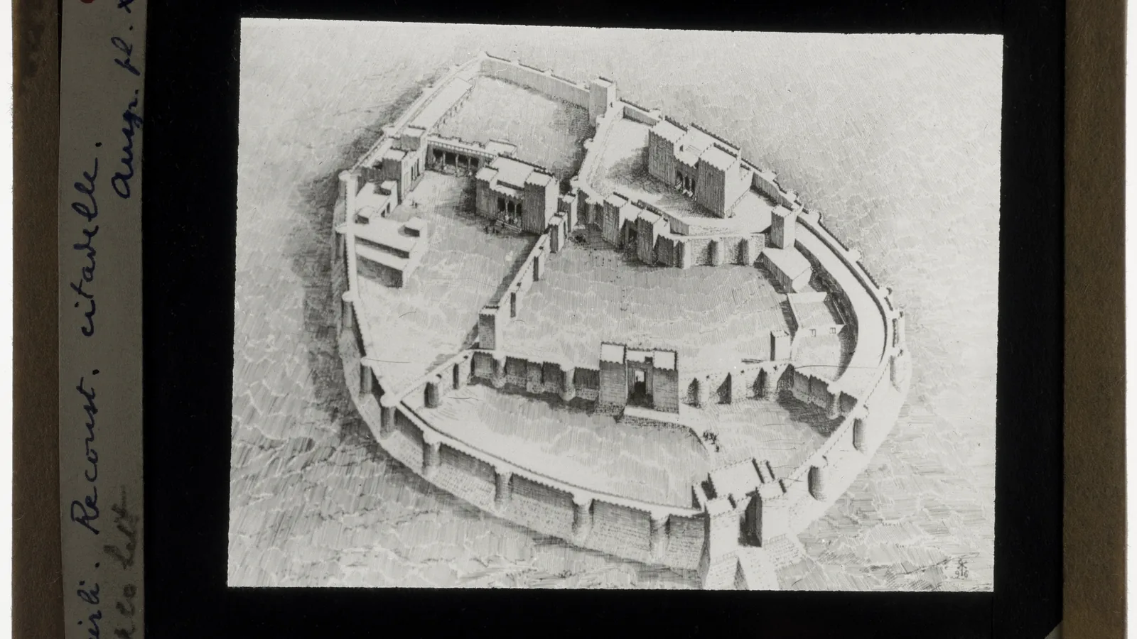
A line of stones can look decisive from the air. It may curve around a mound, cut across a slope or end at what appears to be a gateway. The temptation is to call it a city wall and move on.
Archaeologists have learned to pause at that moment. A boundary is not proved by size alone, and a “gate” seen in a satellite image can turn out to be a house, a later cut or two unrelated walls that only happen to meet.
The first clue is how people moved
A defensive wall normally controls movement. Researchers therefore look for entrances that connect to roads, ramps or streets on both sides. At Zincirli in modern Turkey, the Chicago-Tübingen expedition is tracing fortification walls together with several large gates and the streets that leave them. That relationship matters more than a dramatic section of masonry on its own: a boundary becomes easier to defend when its openings, approaches and interior spaces form a plan.
The same test works at a smaller settlement. A narrow opening flanked by thickened walls may have restricted passage. A broad gap that aligns with a road may have handled carts or animals. A wall with no plausible entrance may still be a boundary, but archaeologists need another explanation for how people crossed it.
A wall can be a terrace, too
Ancient builders used stone to hold back soil, level a slope and protect buildings from runoff. Such a terrace can resemble a fortification when viewed from above. The difference often appears in the ground profile: a retaining wall usually supports a bank on one side, while a defensive enclosure is more likely to have an open approach outside and usable space inside.
Drainage is another clue. Channels, packed surfaces and soil buildup can reveal whether water was being managed or whether the wall was intended to confront people approaching the settlement. Neither pattern is absolute, which is why archaeologists compare several sections instead of naming the whole line from its most impressive corner.
What can visibility tell us?
A border is also a statement about what could be seen. Towers, parapets and elevated approaches may have allowed people inside the settlement to watch a road or a valley. Modern researchers can test those possibilities with topographic models and viewshed analysis, asking which parts of the surrounding landscape would have been visible from a wall or gate.
Visibility is useful, but it is not a magic answer. A place with a wide view may have been ceremonial, administrative or simply built on high ground. The landscape has to be read with the construction and the settlement plan.
The dangerous word is “gate”
One of the best warnings comes from excavation history. In an annual report on work at an ancient Near Eastern site, a surface indentation appeared to mark a city gate with flanking towers. Excavation found houses instead. What looked like a gate was a mixture of later walls and an ancient pit.
That example explains why remote sensing is a beginning, not a verdict. Aerial photographs and satellite images show patterns that are difficult to see from the ground. They do not identify every construction phase. A wall can be rebuilt, robbed for stone or buried beneath later occupation, while a road can shift away from an entrance that once mattered.
Layers tell the longer story
Archaeologists therefore record the wall’s relationship to everything around it. Does a house lean against it, or was the house cut by the wall? Is pottery trapped beneath the foundation, giving a date before construction? Does a later repair cover an earlier gate? These relationships create a sequence rather than a single photograph of the past.
At Tell Leilan, a Yale excavation summary describes a mudbrick fortification wall and gate complex cut into earlier mounds. The detail is easy to miss, but it changes the question. The wall was not simply “there”; it was built into an existing landscape, and its builders chose where to place it in relation to older ground.
So when is a border convincing?
The strongest interpretation arrives when several lines of evidence meet: controlled entrances, a route that approaches the opening, construction suited to the terrain, signs of monitoring or defence, and a sequence that places the wall around the settlement at the right time.
Even then, the word “border” may describe more than military protection. A wall can separate an urban core from fields, mark a sacred precinct, regulate animals and goods or express who belonged inside. The stones tell us where a limit existed. Their purpose comes from the movement, objects and activities that gathered around them.
That is what makes an ancient wall so interesting. From a distance it looks like a simple line. On the ground it becomes a record of decisions: where people entered, what they watched, what they protected and how later generations changed the boundary.
The next time a satellite image reveals a neat enclosure, the useful question is not simply, “How old is the wall?” It is, “What did the wall make people do?”