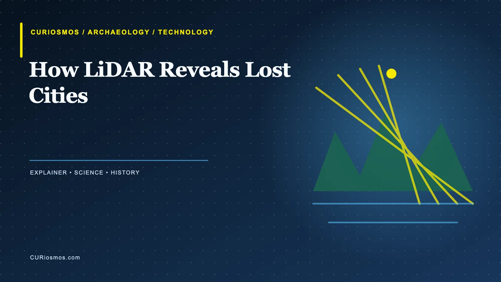
How does LiDAR reveal lost cities beneath forests? It sends pulses of laser light from an aircraft or drone toward the ground and measures how long they take to return. Some pulses bounce from leaves and branches. Others reach the soil, walls or raised platforms below. By combining millions of returns, researchers can build a three-dimensional model of the landscape after much of the vegetation has been digitally removed.
LiDAR does not give archaeologists an X-ray view through solid ground. It is most useful where the forest canopy hides low earthworks, roads, terraces, drainage channels and building platforms. A feature that is almost invisible from the ground can form a clear line or shape in an elevation model.
From laser pulses to a terrain model
A LiDAR instrument records the distance to each return and the position of the aircraft at the same moment. The result is a dense cloud of points. Software classifies those points as vegetation, buildings, bare earth or other surfaces. Researchers can then create different views: a model of the canopy, a model of the ground, or a shaded image that highlights small changes in slope.
The ground model is where archaeology often begins. A road may appear as a straight rise across uneven terrain. A platform may show up as a rectangle. A field system may survive as parallel ridges, while a settlement may reveal itself through clusters of mounds and paths. None of these shapes is automatically an ancient city. They are targets for fieldwork.
Why forests preserve clues and hide them
Tropical vegetation can grow over structures within decades. Roots disturb walls, leaves fill ditches and the forest floor becomes difficult to read. At the same time, the canopy can protect earthworks from modern development and intensive farming. LiDAR gives archaeologists a way to see the shape of the land without clearing every tree.
The method has changed the scale of archaeological survey. Instead of walking every metre of a large reserve, researchers can identify promising features across hundreds of square kilometres and then visit selected sites. That does not replace excavation. It makes excavation more focused and helps preserve places that might otherwise be damaged by unnecessary digging.
What LiDAR can—and cannot—tell us
LiDAR is excellent at revealing form. It can show the outline of a causeway, the footprint of a platform or the relationship between a settlement and the surrounding terrain. It usually cannot tell researchers when a wall was built, what it was used for or which community made it. Those answers require pottery, charcoal, architecture, inscriptions, soil studies and other evidence.
Modern features can also confuse the picture. Roads, drainage ditches, plantations and recent earthworks may look ancient from above. Archaeologists compare the data with historical maps, satellite images and field observations. A compelling image is a beginning, not a finished discovery.
Fieldwork still decides what a shape means
Once a possible platform or road appears in the data, a team visits the location to check the soil, vegetation and construction. A low ridge may be a wall, but it may also be a natural terrace or a modern boundary. Test pits, surface finds and dates from securely recorded samples turn a digital pattern into an archaeological argument.
There is an ethical side to the technology as well. A detailed map can expose sites to looters or bring unwanted attention to communities that have protected a landscape for generations. Researchers work with local authorities and residents, restrict sensitive coordinates when necessary and treat the people connected to a site as partners rather than as an afterthought.
A new view of old landscapes
One of LiDAR’s greatest contributions is that it changes the question. Instead of asking whether a famous monument stands alone, archaeologists can examine the roads, farms, water systems and smaller settlements that connected it to a wider society. The landscape becomes part of the site.
The same data can help protect a site. A survey made before a road, mine or reservoir is built can record earthworks that would otherwise be lost. It can also guide conservation teams toward walls vulnerable to erosion or tree roots. In that role, LiDAR records a baseline that conservation teams can use to measure future change.
That approach fits the way ancient cities actually worked. They depended on fields, rivers, paths and labour beyond their walls. Whether the survey concerns a forested city in Mesoamerica or structures on a dry island, the laser map helps researchers see relationships that a single excavation trench cannot contain.
The same caution applies to radar work on open ground. In our report on Al-Sinniyah Island, geophysics points researchers toward possible structures while excavation and dating still determine what they are.
Sources and further reading: UNESCO: LiDAR and Teotihuacan; National Park Service: Archaeology resources.