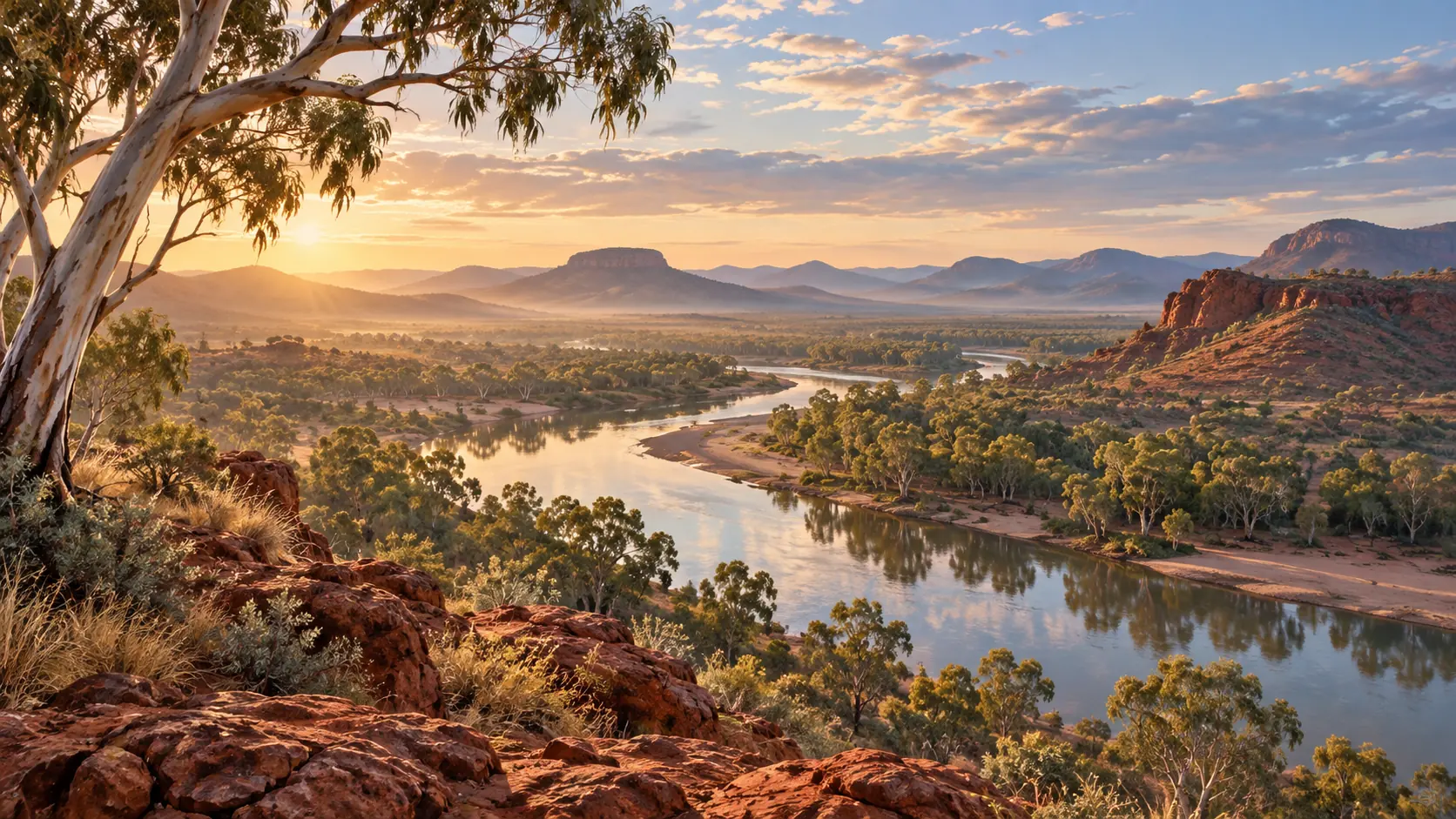
A song follows two serpents across Country in Western Australia. One emerges from Linagoodung Cave, also known as Mount Anderson Cave, and travels toward the Country of another serpent. Along the way, places receive their names.
This is the Marlaloo songline, held by Nyikina Warrwa custodians along the Martuwarra, or Fitzroy River. Its journey can be recorded on a map. Carrying the song into another generation takes people who know it, people ready to learn it and the elders’ decision to bring them together.
The elders chose who would carry the songs
In the Australian Institute of Aboriginal and Torres Strait Islander Studies’ project account, the song cycle had not been sung for more than 40 years. Elders and knowledge holders Rosie Mulligan and Madeline Yanamara feared that it could be lost. They selected Edwin Mulligan and Mark Coles Smith to hold the songs and ceremony.
Nyikina Warrwa Traditional Owner Anne Poelina describes travelling with the elders, recording places with GPS and filming the journey. The project brought a performance, place names and the elders’ explanations together. Their own decisions governed what could be recorded and shared.
What a map can hold
Imagine following a route on a screen. A marker tells you where to stop, but it cannot sing the words, explain the ceremony or tell you who has the right to lead it. Those things have to come from people.
Recording the route helps preserve where the journey goes. Passing authority to younger custodians keeps the song and ceremony in the hands of those chosen to carry them. The elders planned for both.
A recording could survive while the ability to perform and explain it disappears. Here, the elders addressed both questions: how to document their knowledge and who would continue it.
Songlines belong to particular people and places
The National Museum of Australia’s account of creating the Seven Sisters exhibition describes songlines through relationships among story, song, landscape and knowledge. Navigation can be part of those relationships, alongside knowledge about resources, hazards and ancestral journeys.
Marlaloo has its own custodians and ceremony. Details from a different community’s songline cannot simply be added to it to fill a gap. The public account lets us follow what these knowledge holders chose to share; other knowledge remains in their care.
At Chiribiquete in the Amazon, paintings also belong to a landscape with continuing cultural significance. A photograph or map gives outsiders access to one part of a place. Understanding its stories still depends on the communities connected to it.
The Marlaloo project recorded and mapped a journey, but its future also rests with Edwin Mulligan and Mark Coles Smith. The route has places marked along it. The song has people entrusted to carry it.