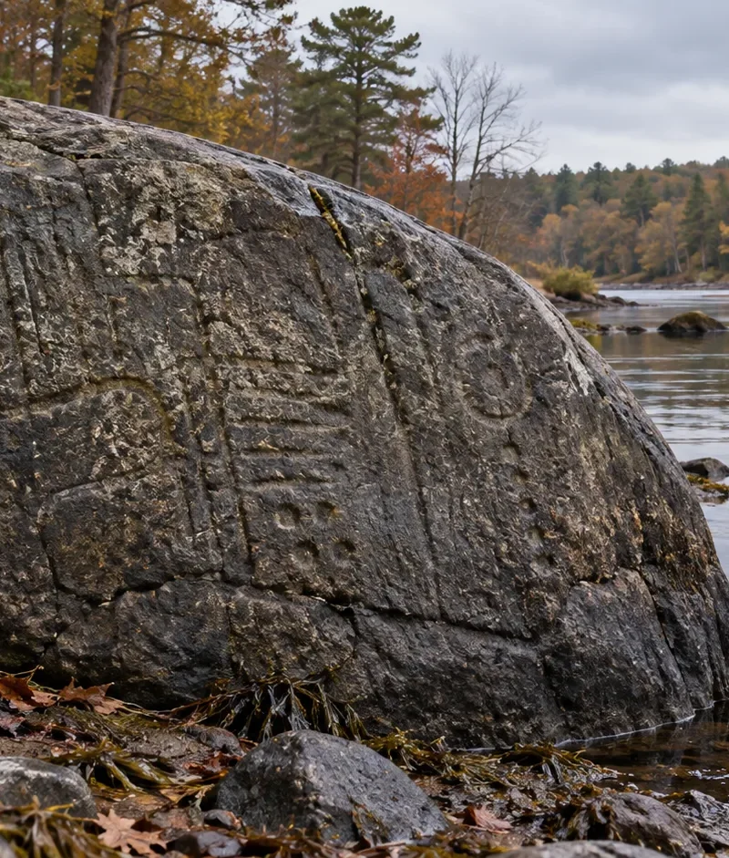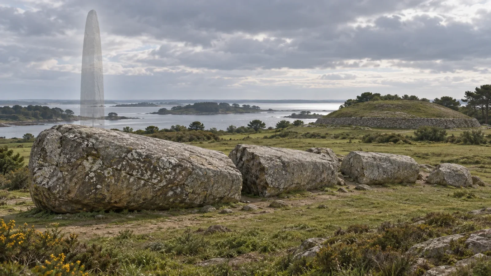
Four enormous fragments lie near the Breton coast where the Grand Menhir once stood. The original stone was about 20 metres long and weighed an estimated 280 tonnes. Neolithic builders raised it around 4500 BC after moving it at least 10 kilometres from its quarry.
Its journey to Locmariaquer is a remarkable feat of planning. Its fall is harder to explain. An earthquake, deliberate dismantling and other causes have all been considered, while the broken blocks and the line of empty stone pits give archaeologists clues without naming a culprit.
A stone shaped for the skyline
The Grand Menhir Brisé—“Great Broken Menhir”—was made from orthogneiss, a hard metamorphic rock. The French Ministry of Culture describes a surface smoothed by repeated blows from heavy stone hammers. A rounded area at the base may have helped the builders balance it as they raised the monolith; the lowest section was left rough, probably because it sat below ground in its setting pit.
Keep exploring
Continue with Curiosmos
There is no construction manual from 4500 BC. Researchers look instead at the stone’s source, the terrain and experiments at other megalithic sites. One possible route ran over land on a wooden cradle, rollers and prepared tracks. Another may have followed the waterways near Auray and Arradon, where channels were flooded during the Middle Neolithic. Dugout canoes could have supported a raft carrying the stone with the tide.
Each route comes with a challenge. Dragging the menhir across rough ground would take a coordinated workforce; floating it would mean controlling a raft beneath a block heavier than a loaded modern truck. We do not know which method the builders chose, but the distance and the stone itself show how much work the project required.
Older than the tomb beside it
The menhir belonged to a landscape that also includes the long Er-Grah tumulus and the Table des Marchands passage tomb. Excavations changed how archaeologists understand their order. The Grand Menhir’s base belonged to an independent structure older than the tomb, rather than serving as a marker added to a completed burial mound.
The Er-Grah tumulus follows an axis from the menhir’s base toward its burial chamber. That alignment suggests the stone was still upright when the tomb was built, in the last two centuries of the fifth millennium BC. Later builders placed a new monument in relation to a giant stone that had already shaped the landscape.
Fragments and empty pits
The monolith lies in four principal pieces. Large splinters around it may have formed when the stone fell suddenly. Its main fracture is unusually clean, and small irregularities along the edge have led researchers to ask whether the break followed a natural weakness or had been encouraged by people.
No reliable written source records the menhir still standing. A fifteenth-century navigation manual for the entrance to the Morbihan Gulf would probably have mentioned such a landmark. Its silence does not give us a year for the fall, but it suggests the stone had vanished from the skyline long before modern observers began recording the site.
Lightning has been proposed, though the French archaeology service considers it unlikely. An earthquake could have brought the monolith down, especially if the rock was already weakened. Neolithic people may have dismantled it; later communities have also been suggested. None of these explanations is proven.
The row around the menhir gives the clearest evidence of deliberate change. Excavators found 18 stone-filled pits extending more than 55 metres north from its base. They once held other standing stones, forming a long alignment that was taken apart during the Neolithic period. Stratigraphic observations place that dismantling toward the end of the fifth millennium BC. They do not, on their own, identify who broke the Grand Menhir or how it fell.
A line across the Neolithic landscape
Some earlier interpretations treated the giant stone as a marker for observing the sky. The excavated pits confirm that it stood in a larger alignment, but an alignment does not come with a single explanation. The row may have guided movement, marked a gathering place or connected people with ancestors and local stories. Watching the sky could have been part of its use without being the whole reason it was built.
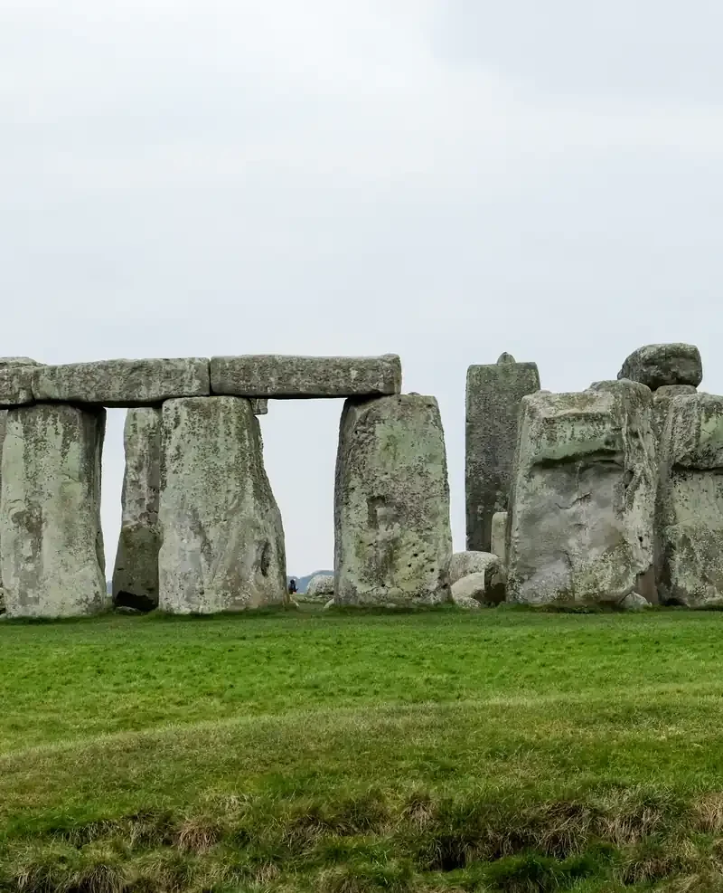
Other prehistoric enclosures raise the same question. Poland’s Neolithic rondels show how communities shaped large spaces, yet their surviving plans cannot tell us every conversation or ceremony that took place there. Locmariaquer offers firmer ground on the work itself: people selected a distant stone, moved it, raised it and eventually dismantled much of its row.
The fragments still mark the place where an enormous monument stood. We know the builders moved and raised it; we know later generations removed stones from the alignment. The reason the Grand Menhir broke remains open, somewhere among a clean fracture, an empty pit and a landscape that kept changing around it.
Sources and further reading
- Er-Grah tumulus, French Ministry of Culture.
- Grand-Menhir and the other monuments, French Ministry of Culture.
- Locmariaquer Grand-Menhir, French Ministry of Culture.
- Locmariaquer visitor guide, Centre des monuments nationaux.
For a related look at how archaeologists interpret prehistoric enclosures, see What Were Poland’s 7,000-Year-Old Rondels For?.