From the air, a wheat field in central Poland can suddenly reveal a circle that no longer exists on the ground. A darker line curves through the crop, then another line appears inside it. Together they outline a rondel: a Neolithic enclosure made from concentric ditches and, probably, timber palisades.
These structures were built more than 6,000 years ago, when farming communities were spreading across Central Europe. Around twenty are now known in Poland, and archaeologists have identified many more elsewhere in the region. Their size and repeated design make them fascinating. Their purpose is harder to pin down.
What is a rondel?
The word describes a particular kind of circular or oval enclosure associated with early farming societies. The builders dug one, two or sometimes three rings of ditches. Timber palisades may have stood along the inner edges, creating a boundary that could be seen and crossed but was not a stone wall.
Keep exploring
Continue with Curiosmos
The best-known Polish examples can reach about 100 metres across. The two found at Kaczkowo in 2023 are smaller, roughly 26 metres in diameter, and were identified in a wheat field. That range matters: there was no single standard plan, and a rondel was not a single building type with one guaranteed use.
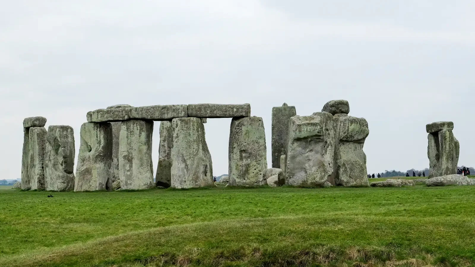
A rondel is also not a Polish version of Stonehenge. Stonehenge was built later and is defined by its stone architecture. Polish rondels were earth-and-timber places, and the comparison works mainly as a way to picture a large circular plan.
How were they found after the wood disappeared?
The structures survive mostly as marks in soil. Centuries of ploughing levelled the banks and removed the posts, but filled ditches can retain different moisture and nutrients from the surrounding ground. During a dry spell, crops above those traces grow differently. From an aircraft or drone, the ring can appear as a crop mark.
Researchers combine that view from above with satellite imagery, aerial photography, soil studies and geophysical surveys. The methods are valuable because they can map a site without immediately cutting into it. They also have limits. A ring visible in a crop does not by itself give a date, identify a community or prove what happened inside it.
That is why the number of Polish rondels remains provisional. Some later communities also dug circular ditches, and similar shapes can arise from different activities. Excavation, dating and the study of associated objects are needed to decide whether a suspected enclosure belongs to the Neolithic group.
When did people build them?
The wider Central European rondel tradition is usually placed between about 4,850 and 4,600 BCE. The builders belonged to early farming societies that moved through the region from the south, carrying crops, animals and new ways of organising settlements.
The date places the structures several thousand years before the pyramids of Giza. It also places them in a period when large communal projects were already possible, even though most houses and tools were made from materials that disappeared. In that sense, the ditches are traces of organisation as much as they are traces of architecture.
Polish rondels belong to a wider Central European pattern. Researchers have counted roughly 200 comparable enclosures across the region, although the exact total changes as new surveys find possible examples and excavation rules others out.
Were they temples, meeting places or observatories?
The strongest interpretation is social and ceremonial. A circular boundary can organise a crowd, separate an interior from the surrounding settlement and give a community a place to repeat a shared event. In several Polish landscapes, long houses appear around a central zone containing rondels. That arrangement suggests that the enclosures were connected to the life of the settlement rather than isolated monuments.
Researchers have also suggested that some rondels hosted rituals, seasonal gatherings or exchanges between neighbouring groups. A few may have helped people track the sunrise at the summer solstice. The shape makes that possible, but geometry is only a starting point. A doorway aligned with the sunrise is interesting evidence; it is not a complete explanation of a site.
The same caution applies to the word “temple.” Neolithic communities left no written label telling us what happened inside the ditches. Archaeologists must work from entrances, postholes, fires, animal remains, broken pottery, human burials and the way a site relates to its neighbours. If those clues are missing or have been erased, the interpretation must stay open.
Why the smaller Kaczkowo rondels matter
The Kaczkowo discovery adds a useful complication. The two circles are much smaller than the largest Polish examples and may have been built in a later phase by farmers arriving in another wave from the Danube region. Around them, researchers have mapped the traces of long, trapezoid houses and a settlement laid out around a central area.
That picture makes the rondel less like a solitary monument and more like a changing part of a lived landscape. A place could be ceremonial and practical at the same time. It might have marked a meeting point, controlled movement, hosted seasonal gatherings or helped a community define its centre.
Geophysical work planned at Kaczkowo was intended to test the ditch pattern and guide later excavation. That sequence is important. The aerial image supplies the outline; geophysics can test what lies beneath it; excavation can recover the objects and dates that give the outline a human story.
What can the circles actually tell us?
They show that farming communities in what is now Poland could plan, build and maintain large shared spaces. They also show that the region was not a cultural backwater waiting for ideas to arrive from somewhere else. The same broad architectural language appears across Central Europe, while local sites vary in scale and arrangement.
The circles do not tell us, on their own, whether people prayed, traded, watched the sky or did all three. That uncertainty is not a failure of the discovery. It is the reason the sites remain useful: each new survey can add another piece to a social world for which almost no written record survives.
A crop mark can look like a simple ring. Archaeology turns it into a question about labour, movement and memory. The next excavation may tell us what stood inside the palisade. Until then, Poland’s rondels are best understood as carefully built meeting places whose exact rituals are still waiting in the soil.
For comparison, the question of how later builders organised monumental landscapes also appears in our report on Armenia’s stone enclosures. And the development of organised records provides another window into the same broad human problem: what counts as writing?