A spacecraft travelling to another planet is not aimed at a stationary target. Earth and the destination are both moving around the Sun, while the spacecraft follows its own path through the same gravitational field. Navigators design a route that meets the planet where it will be, then measure the craft’s actual position and correct the trajectory as the mission unfolds.
There is no single space-GPS system guiding every probe. Deep-space navigation is a conversation between mission planners, giant antennas on Earth, spacecraft instruments and the laws of orbital mechanics.
It starts with a reference trajectory
Before launch, engineers calculate a reference trajectory: a planned position and velocity for the spacecraft at each point in the mission. The calculation includes the gravity of the Sun, planets and moons, the spacecraft’s propulsion and the timing of planned encounters.
A route to Mars might use a transfer orbit that lets the spacecraft fall outward from Earth’s orbit and meet Mars months later. A mission to the outer planets may use a gravity assist, passing a planet so its motion changes the spacecraft’s speed and direction relative to the Sun.
How Earth measures a distant probe
NASA’s Deep Space Network sends radio signals to the spacecraft and measures the time they take to return. That travel time gives the distance along the line between Earth and the probe. The frequency shift in the signal, known as the Doppler shift, reveals how quickly the spacecraft is moving toward or away from Earth.
Those measurements do not immediately give the probe’s full three-dimensional position. Navigators combine them with Earth’s known motion, the predicted trajectory and observations from the spacecraft’s own camera. Small uncertainties accumulate, so the team continually updates the orbit solution.
Optical navigation adds a view of the target
A spacecraft can photograph a planet or moon against the background stars. The position of the target in the image supplies information about the sideways part of the spacecraft’s motion, which radio range and Doppler data measure less directly.
Optical navigation becomes especially useful during a planetary approach. A camera can identify the destination, nearby moons and surface landmarks, giving the navigation team another independent measurement before a flyby, orbit insertion or landing.
Uncertainty travels with the spacecraft
Every measurement has a margin of error. A radio signal may be delayed by charged particles in the solar wind or by Earth’s atmosphere, while a camera image depends on the exact time it was taken and the spacecraft’s pointing. Navigation software carries those uncertainties forward instead of pretending that the position is a single perfect dot.
Teams compare new measurements with the full history of the mission. If the spacecraft is consistently a little ahead of the prediction, the difference may point to a small error in its velocity or to an unmodelled force. The updated orbit then becomes the starting point for the next command.
Course corrections are normal
A trajectory is never perfectly exact. Launch conditions, small gravitational influences, solar pressure and tiny propulsion errors change the spacecraft’s path. Engineers plan correction manoeuvres that use thrusters to nudge the craft back toward the reference trajectory.
The corrections are often small compared with the total distance travelled. A burn lasting seconds or minutes can change where a spacecraft arrives months later. Waiting too long makes a correction more expensive, which is why navigators check the orbit repeatedly.
Curiosmos’s guide to how long a trip to the Moon takes shows why distance and timing matter from the first design calculation. Navigation is the less visible system that makes a vehicle’s planned science possible once it leaves Earth.
Gravity assists change the itinerary
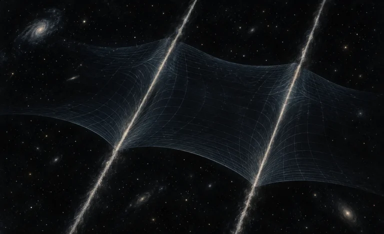
A gravity assist is not a free engine burn. The spacecraft exchanges a tiny amount of momentum with the moving planet. From the planet’s frame, the craft swings around and leaves with almost the same speed. From the Sun’s frame, its direction and speed can change substantially.
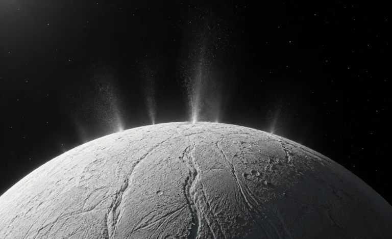
Cassini used repeated Titan flybys to reshape its orbit around Saturn. NASA’s navigation record describes each encounter as a setup for the next one: a carefully timed chain in which a moon helped the spacecraft reach later targets.
The same principle shaped the routes of the Voyager spacecraft. Their planetary encounters changed their paths and gave them access to worlds that a direct launch could not have reached with the same fuel budget.
Why delays matter
Radio signals take minutes or hours to cross deep space. A team cannot steer a Mars probe with a joystick. Commands are planned in advance, and the spacecraft must perform many activities on its own between communication sessions.
Future missions will use more autonomous navigation, including onboard optical measurements and precision clocks. The basic task will remain the same: know where the spacecraft is, know where it needs to be, and make a controlled change before a small error becomes a missed planet.