Some of the forests in Belize may still carry the ecological imprint of ancient Maya land use. A new study combines airborne LiDAR scans with archaeological remains and finds that tree height, leaf density and canopy structure vary in places where Maya communities once built settlements, canals and wetland fields.
Led by Sara Eshleman, researchers at the universities of Exeter and Texas at Austin investigated that possibility. The University of Exeter described their findings on September 1; the study appears in Scientific Reports.
The research focused on the Rio Bravo Conservation and Management Area, a protected region that includes the former Maya centres of Wari Camp and Gran Cacao as well as a large wetland field complex. The researchers worked through the Bladen Legacy project, which studies long-term relationships between people and the environment in Belize.
Reading the forest from above
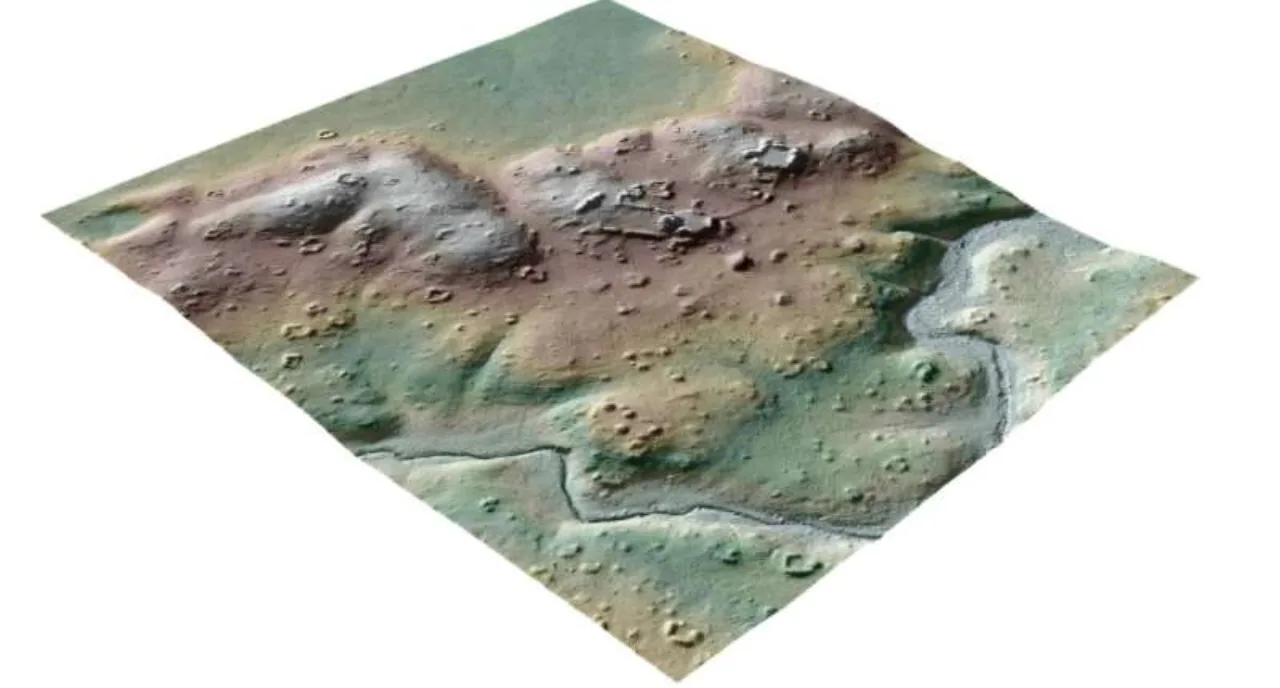
LiDAR instruments send laser pulses through the gaps in a forest canopy and use the returning signals to build a detailed map of the ground and vegetation. That makes it possible to compare modern forest structure with the outlines of ancient canals, buildings and other features that are difficult to see from the ground.
The strongest pattern appeared around areas modified for wetland agriculture. Forests growing over those former fields tended to be taller and more varied, while areas around settlements showed greater canopy cover and more foliage near the top of the trees.
What could connect a ruined settlement to the trees growing above it? The researchers suggest several possibilities: limestone from buildings could have altered the soil, while Ramón trees associated with Maya settlements may also help explain the pattern. These are possible mechanisms behind the association, leaving an intriguing question for further fieldwork.
How long can a landscape remember?
The relationship was clearest when the researchers examined areas between about 100 and 300 metres wide. At larger scales the signal became less certain, and the team says a much wider study will be needed before the result can be extended to the entire Maya Forest.
A wider survey could ask whether the same relationship appears around other Maya settlements and fields. Comparing places with different soils and environmental histories would help researchers explore how much of the pattern reflects ancient land management.
Even so, the result changes how “pristine” forest can be interpreted. A landscape that looks untouched today may contain ecological differences inherited from farming, construction and water management carried out many centuries ago.
The work adds a new layer to how archaeologists use remote sensing to find lost settlements. In Belize, LiDAR is now being used not only to locate Maya infrastructure but also to ask whether the living forest still records what people did there.