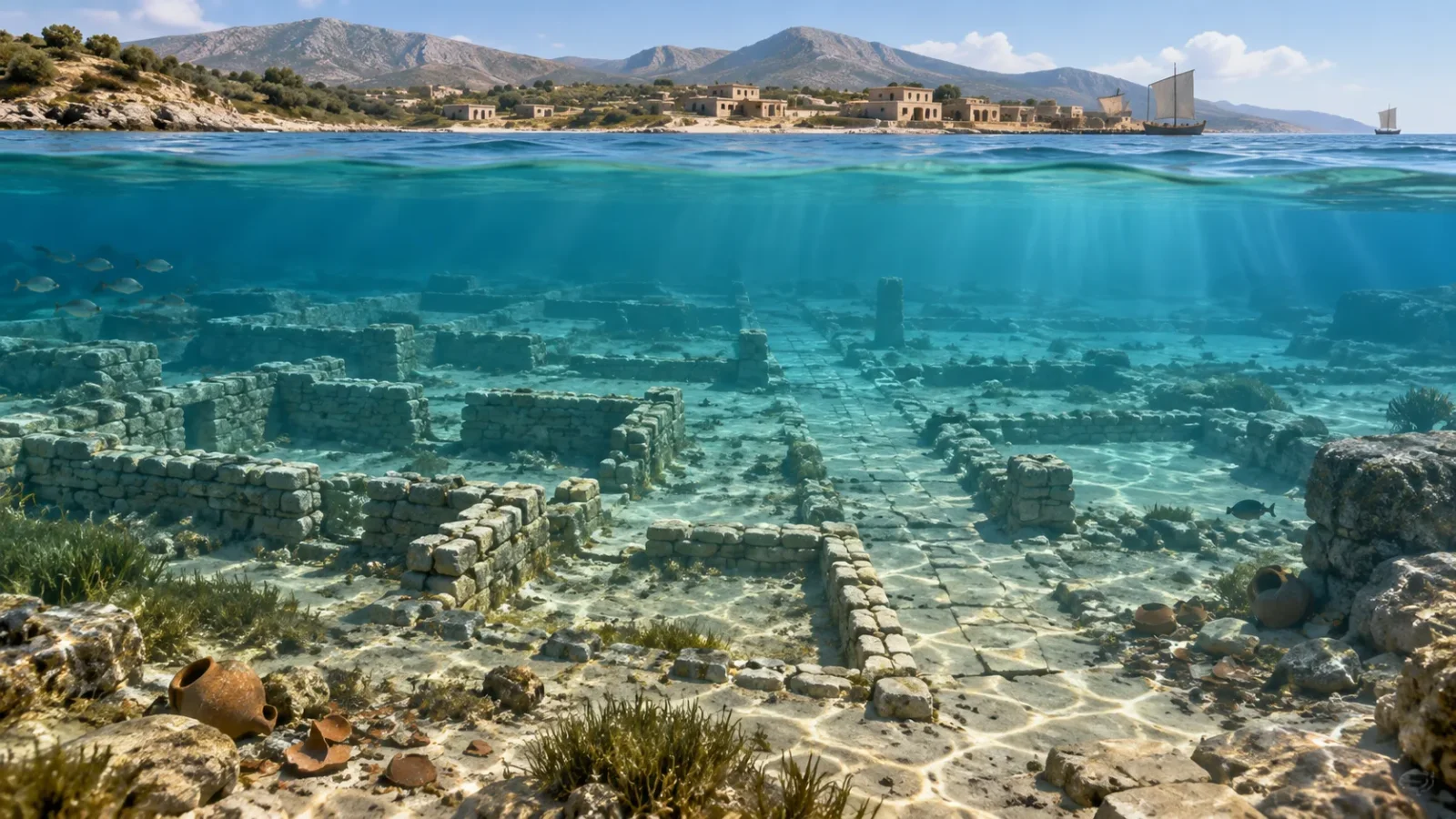
Under a few metres of water off southern Greece, straight lines cross the seabed and low walls outline rooms. They are the remains of Pavlopetri, a Bronze Age settlement in the bay of Vatika, off Laconia. It is a rare chance to study a town where buildings, streets and the old shoreline can still be mapped together.
The site is often called a “lost city,” but that phrase makes it sound as if the sea swallowed everything in one night. The evidence points to a slower story: people lived beside a changing coast, and later the water covered the settlement. Researchers are now recording the surviving plan piece by piece.
Reading walls beneath the water
The Hellenic Ministry of Culture describes building foundations, streets and other traces across the submerged site, along with pottery recovered during underwater work. Some features are visible to divers because the water is shallow. Sand, erosion and currents have altered the seabed, so the walls do not provide a complete picture of the town as it stood.
Keep exploring
Continue with Curiosmos
A line on a survey map can mark a wall, but it cannot tell us by itself whether the room was a house, workshop or storeroom. Archaeologists compare the layout with pottery, excavation records and the shape of the coast to work out how different parts of Pavlopetri may have been used.
How the shoreline moved
No single event has been identified as the moment Pavlopetri sank. This part of Greece is shaped by earthquakes and shifting land, while sea levels have also changed since the Bronze Age. A settlement built close to the water could have been gradually submerged through a combination of those forces.
Researchers therefore study Pavlopetri as a coastal landscape. Pottery helps date activity at the site; geology and seabed surveys show how the coast has changed. Together, those lines of evidence are more useful than trying to pin the town’s end on one dramatic disaster.
Robots, divers and a map that can be checked
A joint project involving Greece’s Ephorate of Underwater Antiquities, the British School at Athens, the University of Nottingham and marine researchers recorded Pavlopetri with divers, sonar, robotic platforms and stereo imagery. An autonomous underwater vehicle surveyed the seabed, while diver-controlled cameras captured close views of walls and objects.
The team used those records to make geo-referenced mosaics and three-dimensional models. The maps let researchers measure a street, compare the direction of walls and return to the same feature during a later survey. Other specialists can inspect the records without having to find every wall again in shifting water and sand.
A model preserves what the cameras and instruments recorded. It does not fill in missing walls or tell us who lived in a room. Its value is that the observations can be measured and checked, instead of relying on a diver’s memory or a sketch made in the water.
A harbor, or a town beside the sea?
Pavlopetri’s position near the southern Peloponnese makes contact by sea likely. Pottery and the coastal setting place the settlement within a wider Bronze Age world. Whether it functioned as a major port is a different question. “Port” could mean a busy regional harbor, a smaller landing place or a town whose residents combined fishing, farming, craft and exchange.
The buildings show that the settlement was planned. The objects connect it to wider networks. Its exact scale and role still have to be reconstructed from the remains, and each new survey adds detail to that picture.
Land sites are often altered by later roads, fields and buildings. At Pavlopetri, the submerged streets still sit beside traces of the coastline people once knew. Compare its layout with the planned enclosures in our report on Poland’s Neolithic rondels: the shapes are different, but both sites invite us to picture how people used shared spaces long before a written guide explained them.
For now, Pavlopetri is best approached with a diver’s patience. A wall emerges from the sand; its angle lines up with another; pottery places activity in time. How much of the old town can those small clues bring back into view?
Sources and further reading
- Hellenic Ministry of Culture: Pavlopetri Lakonias
- Hellenic Ministry of Culture: examination of Pavlopetri pottery
- University of Nottingham: underwater robotic mapping and 3D reconstruction
- Hellenic Centre for Marine Research: submerged cultural heritage
- British School at Athens: Pavlopetri project report