The Lake Michigan mastodon carving claim began with a line of stones on the lake floor. One rock was said to show the extinct animal, and the whole feature became an “underwater Stonehenge.”
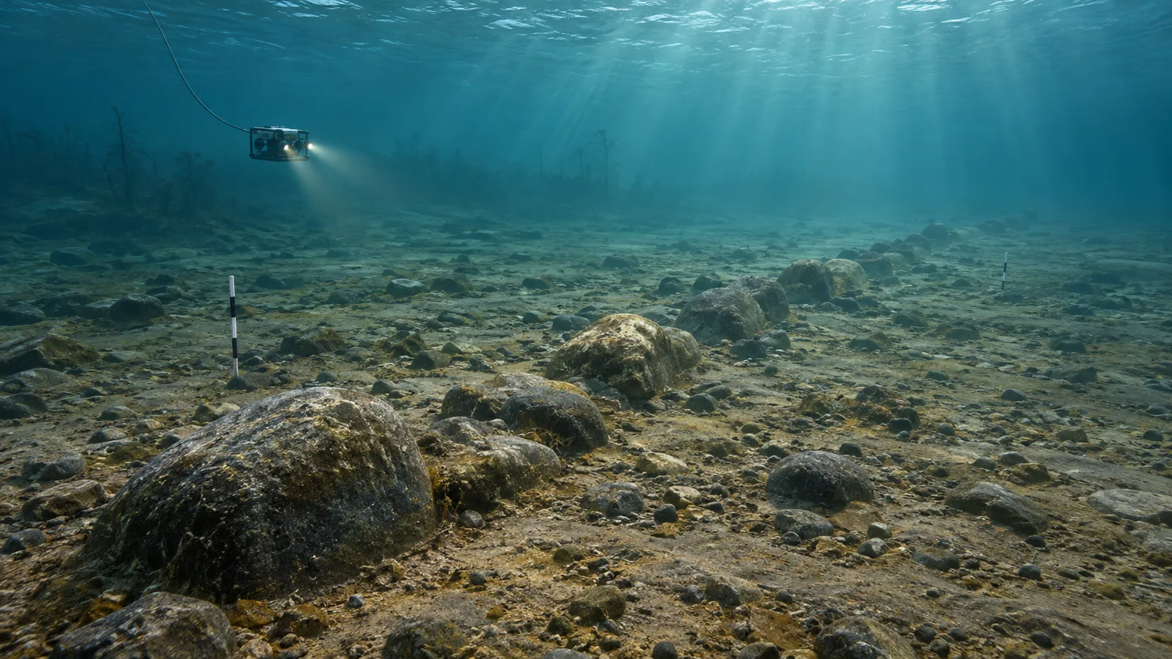
The stones lie beneath Grand Traverse Bay, where changing Great Lakes shorelines left wide landscapes under water. Divers have described a long alignment. Its age, its purpose and the supposed animal carving have not been established.
The stones beneath Grand Traverse Bay
In 2007, archaeologist Mark Holley was searching Lake Michigan for shipwrecks when sonar and later dives brought a line of stones to his attention. Some online accounts turned it into a circular monument. Holley’s own description is more modest: there is no henge, and the feature is a line extending for more than a mile.
The location has not been made public, and the site has not had the sustained archaeological investigation needed to date it or explain how it formed. “Underwater stone alignment” is a fair description. A prehistoric monument is not yet a demonstrated one.
How a rock became a mastodon
A photograph of one rock shows shallow marks that some viewers read as the outline of a large animal. Underwater images are dark and low in contrast; later versions online sharpened or traced the lines, making the proposed mastodon easier to pick out than it is in the original.
That resemblance prompted interest, but no published study has identified the marks as a human-made engraving. A review by Lead Stories found no scientific confirmation of a mastodon carving, and Holley has not claimed to have authenticated one. Without a verified image and an archaeological context, the marks cannot date the stone line.
People did live on land now below the Great Lakes
Parts of the lake floor were dry land after the ice sheets retreated, as water levels shifted. Lake Huron provides a well-studied example. On the Alpena-Amberley Ridge, underwater archaeologists have documented more than 60 stone features in a former land corridor, alongside chipped-stone debris from human activity about 9,000 years ago.
Their arrangement resembles caribou-hunting structures known from Arctic regions. That interpretation draws on the features’ spacing and setting, as well as the other archaeological traces nearby. It rests on a mapped landscape, not one suggestive shape.
The Lake Huron finds make it reasonable to ask whether people used the exposed landscape beneath Lake Michigan too. They do not prove that people placed the Grand Traverse Bay stones. The two sites need separate surveys, samples and archaeological context.
What researchers would need to establish
A close study would begin with accurate sonar and multibeam maps, then compare the stones’ positions with reconstructions of ancient shorelines. Divers or remotely operated vehicles could document each stone and the seabed around it. Researchers would look for tools, charcoal, sediments or other traces that might show when and how people used the area.
The Lake Huron project describes this kind of work: mapping first, followed by diver inspection, photography, sampling and comparison with known hunting features. At the Grand Traverse site, the public record does not yet include a comparable excavation, a securely dated artefact or a published examination of the alleged animal marks.
That leaves several possibilities open. Ice, currents or other natural processes can move stones; people can also arrange them for different purposes. A line on the lake floor cannot decide between those explanations by itself.
A promising lead, not a confirmed monument
For now, the Grand Traverse Bay alignment is a lead for underwater archaeology. The nearby mastodon claim has not been verified, and the line’s age and origin remain unknown. A careful survey could change what researchers know, but Lake Huron’s evidence cannot stand in for that work.
Until then, it is better to keep the two records distinct: documented prehistoric activity on the Alpena-Amberley Ridge, and an intriguing but undated stone line in Lake Michigan. Curiosmos has also covered the submerged cairns of Lake Constance, a separate complex with its own survey record.
Sources and further reading
- Mark Holley, “Stonehenge” Lake Michigan — the archaeologist’s correction and current description of the site.
- University of Michigan, Pre-Historic Archaeology on the Alpena-Amberly Ridge — documented submerged features in Lake Huron.
- University of Michigan, Underwater Methods — the team’s survey approach.
- Lead Stories, Lake Michigan mastodon-carving fact check — review of the unverified image claim.