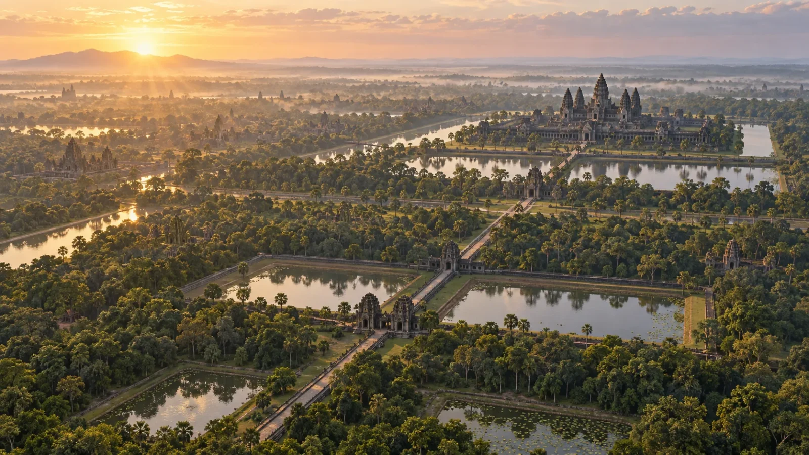
Angkor Wat rises above the Cambodian forest, but the temples were only part of the Khmer capital. Under the trees, lidar surveys have traced roads, reservoirs, canals, ponds and house mounds across a landscape that supported successive royal centres for centuries.
From the ground, much of that network is easy to miss. Seen as a map, it changes the picture of Angkor: the temples sat within a large, connected settlement whose fields and waterworks needed constant attention.
A capital spread across a region
UNESCO’s Angkor Archaeological Park covers about 400 square kilometres and preserves the remains of Khmer capitals built between the ninth and fifteenth centuries. Angkor Wat and the Bayon draw the eye, yet roads, reservoirs and hydraulic structures are also part of the World Heritage site.
Keep exploring
Continue with Curiosmos
That scale raises a practical question. How did people move, grow food and manage water across a region where rain arrives with the monsoon and the forest now hides much of the ground plan?
Seeing the city from the air
Airborne lidar helped archaeologists map the ground without clearing the forest. The instrument sent laser pulses toward the landscape and recorded their returns. By filtering out the tree canopy, researchers could model small changes in elevation that point to roads, banks, settlement mounds and other features.
Evans and colleagues used those maps to identify a planned urban landscape around the major temples. Lidar did not reveal one buried downtown. It showed thousands of features whose positions and directions make sense together: straight routes, gridded areas and links between temple precincts and the wider settlement.
Some traces are subtle. A low rise may be the remains of a house mound; a shallow dip may mark a pond. When those details are mapped across a broad area, the forest gives up a plan that no single excavation could show.
Water moved through many hands
Angkor’s waterworks included large reservoirs called barays, as well as canals, embankments, temple moats, ponds and smaller local features. They captured and moved monsoon water, supported rice cultivation and shaped how people travelled through the region.
The system grew over time. Research on Greater Angkor describes large state projects alongside smaller community works. Temples, local settlements and later rulers each altered parts of the landscape. A reservoir could store water, but daily life also relied on nearby ponds, field channels and banks that held through the wet season.
Keeping a water city working
A network this large could serve a growing population, but it also demanded repair. Years of weak rainfall and seasons of intense rain would strain different parts of the system. Researchers have linked Angkor’s later history to that maintenance burden and to climate shifts, including droughts followed by heavy monsoon seasons.
Rainfall was one pressure among several. Political change, trade, population movement and the rise of other Khmer centres also shaped the region. Angkor did not empty in a single moment; people continued to use and adapt parts of its landscape long after royal power shifted elsewhere.
Look beyond the famous towers and the forest floor begins to read differently. Straight banks suggest an old route; a rectangular hollow may be a pond; clusters of low mounds can mark where people lived. Angkor’s temples are the most visible monuments, while the mapped water network shows how many smaller decisions kept the city going.
For a related look at how archaeologists reconstruct urban change, read Why Ancient Cities Were Built on Top of Each Other.