Deep beneath Antarctica’s vast ice sheet lies something extraordinary — not an ancient city or hidden civilization, but fragments of a long-lost continent. These pieces, known as cratons, are part of Earth’s original crust, preserved under kilometers of frozen silence. And while they aren’t the stuff of myths, their discovery is helping scientists piece together a much older story: the one about how continents form, move, break apart, and come back together again.
With the help of satellite gravity mapping and seismological models, researchers are now reconstructing what lies under one of the least understood places on Earth — revealing that Antarctica may be hiding the broken pieces of a lost continent millions of years in the making.
What exactly are cratons?
Cratons are the ancient, stable cores of continents — chunks of Earth’s lithosphere that have survived for billions of years. They’re made of incredibly dense rock and often stretch hundreds or even thousands of kilometers across. Because they resist the forces that break and deform other parts of the Earth’s crust, they act as geological anchors for entire continents.
You can find cratons beneath places like the Canadian Shield, the Amazon Basin, Siberia, and now, deep under Antarctica. Studying these structures offers insight into the deep-time history of our planet — how the crust formed, how it changed, and what it looked like long before the continents took their current shape.
How scientists found them beneath Antarctica
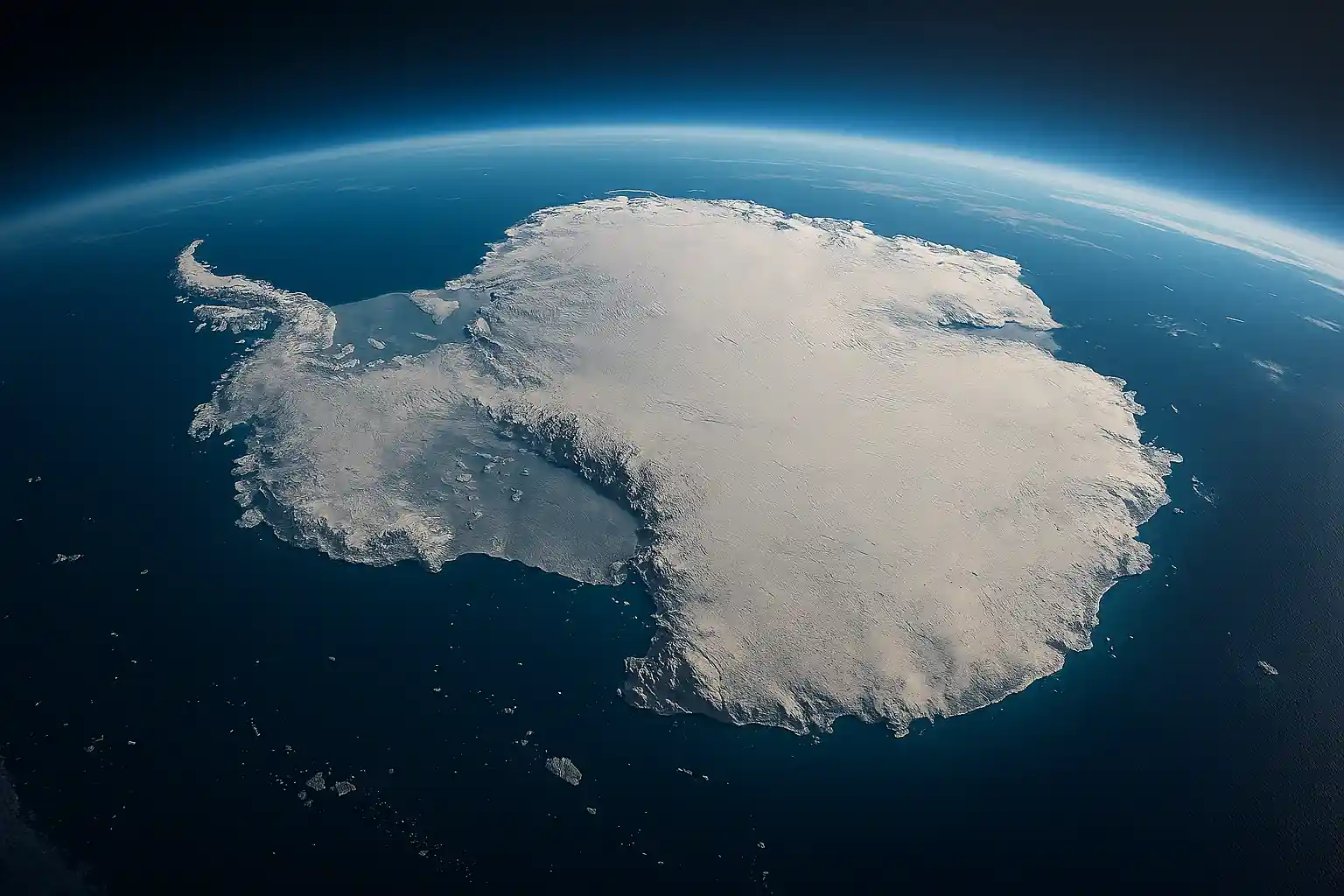
Since Antarctica is covered by up to two kilometers of ice, traditional geological surveys — like drilling and surface mapping — are nearly impossible. That’s where satellites come in.
The GOCE mission (Gravity Field and Steady-State Ocean Circulation Explorer), launched by the European Space Agency in 2009, used precise measurements of Earth’s gravity field to detect variations in mass beneath the surface. These variations can indicate denser or less dense material — like thick cratons or thinner, more dynamic crust.

Though GOCE ended its mission in 2013, the data it gathered has proven invaluable. By combining it with seismological data — information from how earthquake waves travel through Earth — researchers created 3D models of the lithospheric structure beneath Antarctica.
The result: a high-resolution image of hidden geology beneath the ice.
The link to a prehistoric supercontinent
What they found was striking. East Antarctica, it turns out, is underlain by a thick, stable craton that shares striking geological features with parts of Australia and India. Pieces of a lost continent. That’s no coincidence. Around 550 million years ago, these regions were all part of Gondwana — a prehistoric supercontinent that also included Africa, South America, and Antarctica.
As Gondwana broke apart during the age of dinosaurs, the pieces of this lost continent drifted away from one another. But they didn’t do so cleanly. Remnants of their ancient connections remained — embedded deep in the Earth’s crust.
The cratons beneath East Antarctica are those remnants. Their density, structure, and composition match what geologists would expect from Gondwana-era landmasses. Meanwhile, West Antarctica has a much thinner, less stable crust — suggesting a different tectonic history and younger geological evolution.
Why Antarctica remains a blank spot on the map
Despite being Earth’s fifth-largest continent, Antarctica is still the least explored geologically. Its thick ice cap hides almost everything — ancient mountain ranges, buried rift valleys, fossil records, and now, continental fragments.
This means our understanding of Earth’s tectonic past has always had a massive blind spot — one that’s only now being filled in with the help of advanced remote sensing and satellite data.
Discoveries like this not only help map ancient supercontinents, they also sharpen our understanding of how plate tectonics, continental drift, and earthquake zones develop. They could even inform future research into natural resources hidden deep within stable cratonic regions.
That Antarctica may be hiding fragments of an ancient continent matters more than it might seem. It’s part of a much bigger story — one that stretches back hundreds of millions of years, through shifting continents and the slow reshaping of the Earth itself.
Every discovery like this adds another piece to the puzzle. And while the ice above remains still and silent, the ground beneath it holds clues to a planet that’s always been in motion.