A sensational discovery has been made using LiDAR technology once again as scientists revealed they found the remnants of a long-lost city that predates the Inca capital of Machu Picchu. Albert Lin, an explorer from National Geographic, along with archaeologists Adan Choqque Arce and Thomas Hardy, managed to draw a complete map of the city – colonized most likely by a pre-Inca culture – thanks to LiDAR. This remote sensing technology uses the pulse from a laser to collect measurements which can then be used to create 3D models and maps of objects and environments.
A site called Wat’a
According to reports, the ancient city revealed by LiDAR is located at an archaeological site known as Wat’a, at an elevation of 4,000 meters, meaning it is more than 1,500 meters above the elevation of its more famous counterpart Machu Picchu. Wat’a, which means “island” in the native language, consists of five sections: Wataqasa, Willcapata, Qhawarina, Qullqa, and Saksaywaman Pata.
LiDAR reveals unseen wonders
Even though the ancient city had been studied and excavated by archaeologists before revealing tombs, ceremonial plazas, residential areas, and a large defensive wall, the new LiDAR scans have helped experts see elements that had previously eluded experts, helping them identify never-before-seen features like typical Inca-style terraces, among other things. Speaking to Newsweek, Lin explained that “It is very challenging to get there.” “You’re at around 13,000 feet of elevation, and its mostly open landscape because there’s not a lot of trees around, so you’re basically baking in the high altitude sun, all the way up.”
Settlements that remain hidden
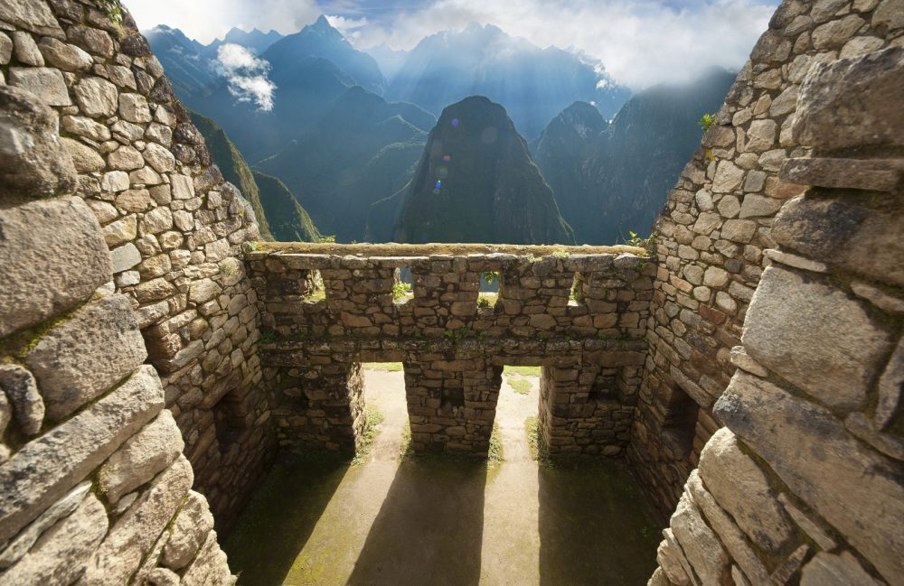
Unlike Machu Picchu, which has been excavated and restored, many ancient Inca and Pre-Inca settlements high up the Andes mountains remain hidden due to more than a thousand years of vegetation growth. Therefore, seeing terraces, plazas, and even buildings is nearly impossible, and many elements of known ancient sites remain hidden “beneath the surface”. That’s precisely where LiDAR comes into play, helping experts see what they cannot with the naked eye.
LiDAR is revolutionizing archaeology
LiDAR has already revolutionized archeology proving to be a must-have tool for experts trying to uncover lost cities and ancient cultures. The ancient city is interesting because—like other sites found across Peru—the Inca appear to have constructed on top of more ancient pre-Inca settlements. But what is perhaps most interesting is that the researchers who participated in the latest expedition argue that the recently revealed city may have been, in a way, a template for the city of Machu Picchu, an ancient Inca city founded in the 15th century.
Hidden deep beneath the Jungle
“See it as an evolution on their pathway towards Machu Picchu,” Lin told Newsweek. “I think it’s quite an inspiring place to be.” experts across the globe widely use LiDAR technology. Not long ago, LiDAR scans helped archaeologists find more than 60,000 lost ancient Maya structures hidden deep beneath the Jungle’s extensive layers. The data provided by LiDAR has helped scholars estimate that as many as 11 million people may have inhabited the Maya lowlands during the Late Classic Period spanning between 650 and 800 CE.
Have something to add? Visit Curiosmos on Facebook. Join the discussion in our mobile Telegram group


