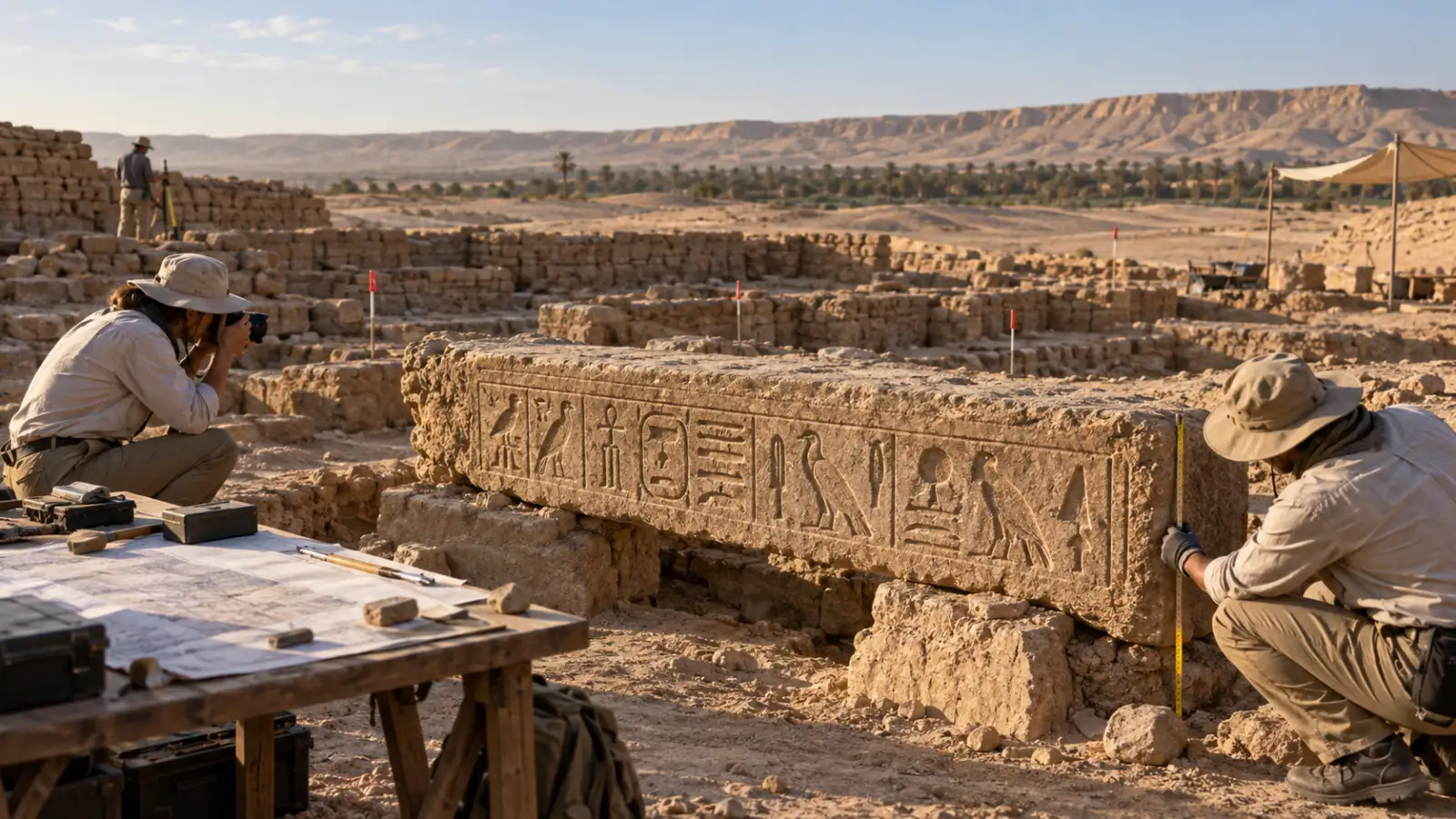
A carved name can seem to solve an archaeological mystery in an instant. One line on a stone appears to identify a place known only from old texts, and the headline writes itself: a lost city has been found.
The real work begins after that first moment of excitement. Archaeologists ask where the stone was found, whether it stayed in its original setting, what buildings surround it, which layers belong to the same period and whether the wider landscape fits the written record. A name is a clue. The case for a city is built from the relationships between many kinds of evidence.
That is why a new inscription connected with Ramesses II and the ancient place-name Mesen matters without proving every detail at once. The inscription gives researchers a sharper question to investigate. It does not remove the need for excavation, dating and comparison.
Keep exploring
Continue with Curiosmos
What does a “lost city” mean in archaeology?
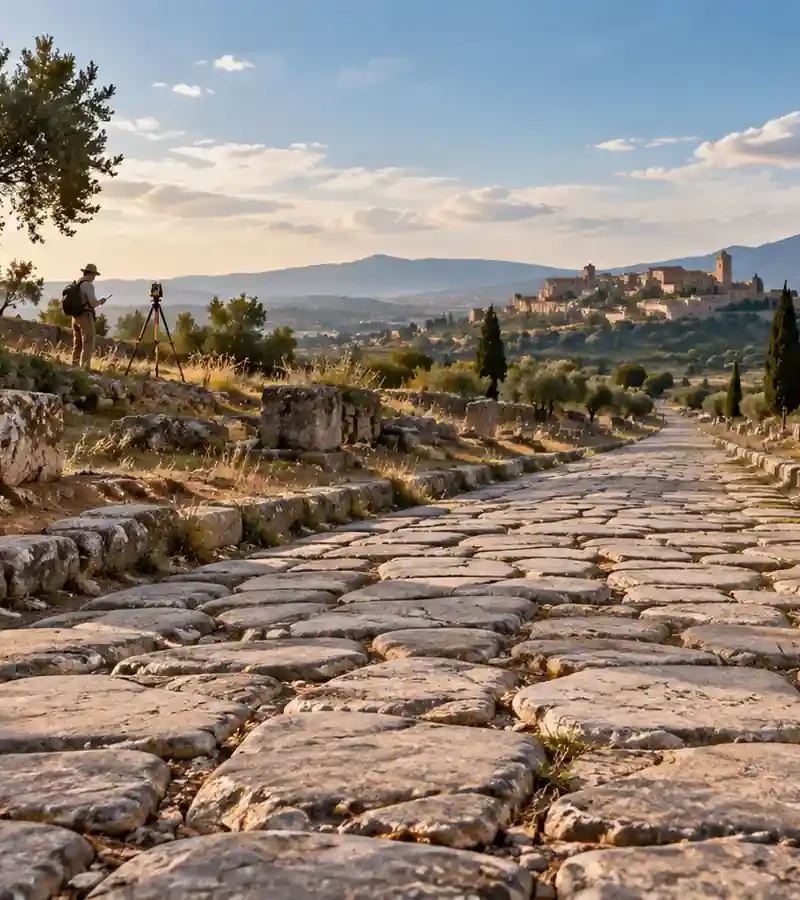
Ancient cities rarely disappear in a single event. A settlement can move, contract, change its name, be covered by later construction or survive only as a mound of mixed layers. Archaeologists therefore do not search for one object that carries the word city. They reconstruct how a place functioned over time.
A city may leave evidence of administration, storage, craft work, roads, religious buildings, houses and organised movement. Some places were both towns and religious centres. Others were frontier stations that grew around a temple, a fort or a route. The question is not only what was this place called? It is also what did people do here, and when?
The National Park Service explains that survey helps identify the extent and character of a site before full excavation. Researchers combine documentary research, surface evidence, mapping and non-invasive methods with carefully chosen excavation. That sequence matters because digging removes the layers later researchers may need to study.
What can an inscription tell archaeologists?
An inscription may name a ruler, a god, an office, a building or a place. It can show who commissioned a monument and which political or religious language described it. A title such as “Lord of the City of Mesen” is more informative than a royal name alone because it links a deity to a specific place-name.
The wording still needs context. A king’s name can appear on a monument made during his reign, on a later restoration or on a block reused in another building. A religious title can travel with a statue or fragment from a nearby settlement. Epigraphers compare the language, signs, stone, carving style and historical period with the physical setting.
The most useful inscription is one connected to other evidence. If a place-name on a lintel matches a site showing the right period, architecture and regional role, the inscription strengthens a location hypothesis. It does not make that hypothesis immune to revision.
Why the findspot matters as much as the words
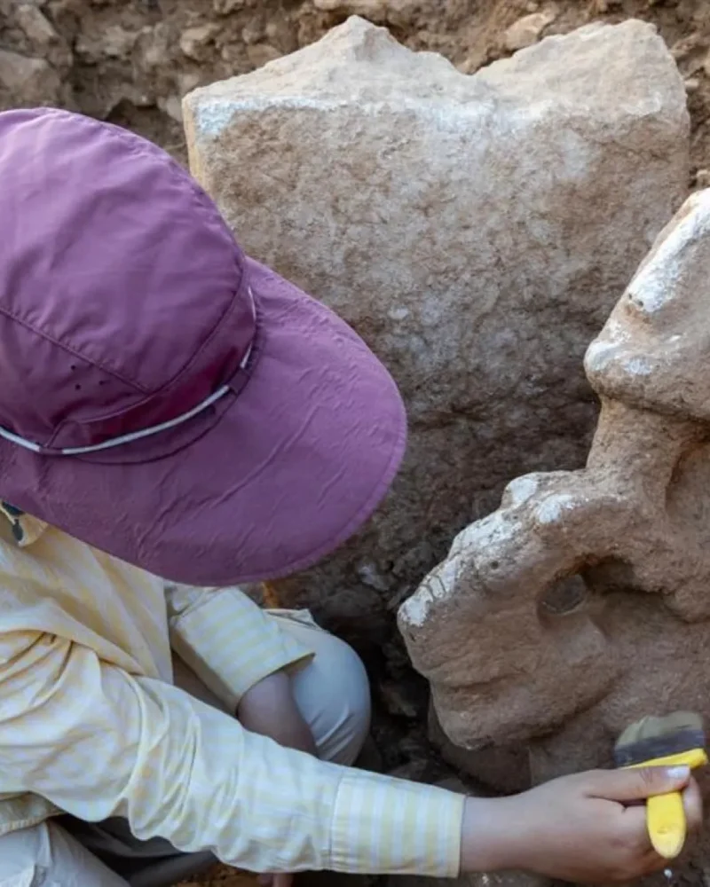
Archaeology is a science of context. A stone found in the foundation of a later wall does not necessarily come from the building that first displayed it. Ancient builders dismantled older monuments and used their blocks again. Floods, earthquakes, quarrying and modern disturbance can move material as well.
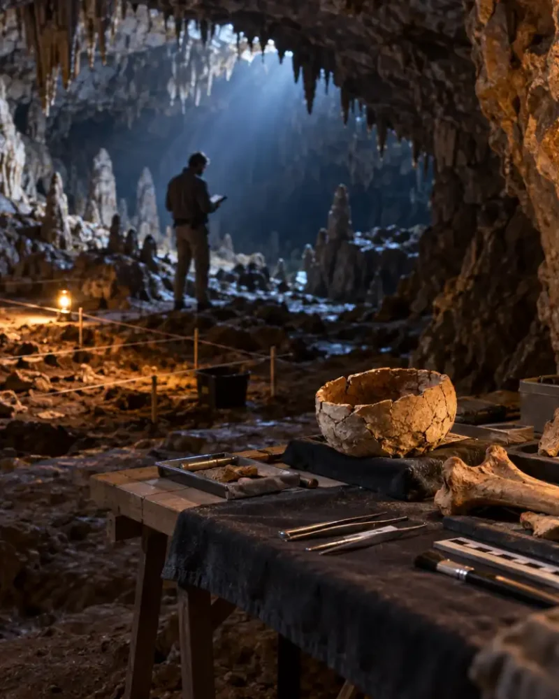
That is why an excavation records the exact position, depth, orientation and association of a find. The surrounding soil, pottery, walls and construction phases can show whether the object stayed where it was placed or arrived there later.
UNESCO guidance stresses documentation, preservation of reference areas and access to records so later researchers can compare interpretations. A dramatic object becomes much more useful when its context remains available for study.
What buildings reveal that words cannot
A city is a system of spaces. Walls, gates, roads, drains, storage rooms, workshops and houses show how people organised movement and labour. A temple alone may identify a sacred place. A temple connected to service areas, storage, roads and settlement remains can show a larger institution operating within a community.
Site plans let archaeologists ask whether buildings were arranged around a controlled entrance, whether supplies moved through a particular corridor and whether ordinary living spaces stood beside administrative or religious structures. The answer may change as new trenches expose the edges of the settlement.
Ground-penetrating radar, magnetometry and electrical-resistivity surveys can identify walls, voids and other contrasts below the surface. They do not label a feature city, but they can reveal the shape and density of buried architecture that excavation can then test.
How archaeologists build a timeline
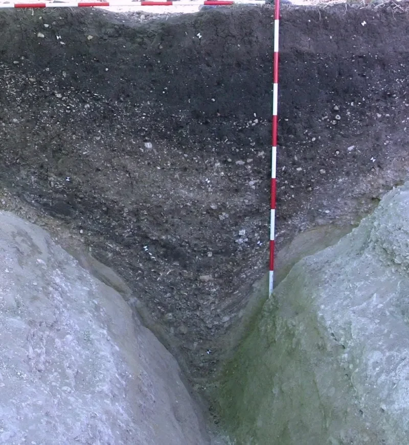
A site may contain several places at once: an earlier sanctuary, a later town and an installation built from older stone. Archaeologists separate those phases through stratigraphy, construction joints, pottery, inscriptions, coins and scientific dating where suitable material survives.
The sequence is essential. A later wall can preserve an older name without belonging to the earlier city. A road can follow a route first established centuries before. A reused block can be evidence for an earlier monument while also showing how later inhabitants treated the ruins around them.
This is why a lost-city identification is usually a process rather than a single announcement. Each season can add a fragment, doorway, floor, date or contradictory detail. The interpretation becomes stronger when independent lines of evidence converge.
What the Mesen clue changes
Recent work at Tell Abu Saifi in eastern Egypt produced a sandstone lintel associated with Ramesses II and a reference to Horus as “Lord of the City of Mesen.” The find matters because it connects a place-name from Egyptian records with a real archaeological landscape. Curiosmos has examined the inscription, the enclosure and the site’s position along the ancient Way of Horus in its report on the possible location of Mesen.
The inscription narrows the argument. It gives the excavation team a target for looking for matching fragments, foundations and additional references. It also makes the surrounding roads, storage areas and building phases more significant because they can be tested against the role expected of a frontier religious and administrative centre.
The evidence remains open to testing. Researchers still need to document the lintel’s exact history, establish whether it belonged to the enclosure or was moved there, and compare it with material from nearby sites. The strongest conclusion may eventually be that Tell Abu Saifi contains part of Mesen’s urban landscape rather than every part of a city that changed across centuries.
Why leaving the question open is useful
Archaeology advances when a good clue leads to a better question. If a name is treated as a final answer, researchers may overlook evidence that does not fit. If it is treated as one part of a larger argument, every new wall, layer and inscription can improve the reconstruction.
That is the curiosity behind lost-city archaeology. A broken stone can put a place-name back on the map, but the buildings around it show how that place worked. The real discovery is not only the city’s name. It is the human landscape that made the name meaningful.
Sources and further reading
- National Park Service: How Do Archeologists Find Sites?
- UNESCO: Principles Applicable to Archaeological Excavations
- UNESCO World Heritage Centre: Interpretation and communication
- Curiosmos: A Ramesses II Inscription Points to Egypt’s Lost City of Mesen
- Curiosmos: How Do Archaeologists Tell a Settlement From a Ritual Complex?