Archaeologists working at Tell Abu Saifi in eastern Egypt have found a sandstone lintel that strengthens the case for locating the long-lost city of Mesen at the site. The stone carries the titles of Ramesses II and refers to the restoration of a statue of Horus, “Lord of the City of Mesen.” It is an unusually direct connection between a place named in Egyptian records and a real archaeological landscape—but it is still a case being built piece by piece, not a final identification. The identification is being assembled in the same careful way archaeologists read layers of rebuilt cities—through many pieces rather than one dramatic claim.
Tell Abu Saifi lies near East Qantara in the Ismailia Governorate, along the ancient route known as the Way of Horus. This was the military and administrative corridor that linked Egypt’s northeastern frontier with the eastern Mediterranean. Forts, temples, storehouses and settlements grew along it, making the area one of the best places to look for a city that once guarded movement into and out of Egypt.
Mesen has been difficult to pin down because the written record preserves its name more clearly than its exact location. In reports about the new excavation, the city is also written as Mesn. The name is associated with Horus and with Egypt’s eastern border, but several sites in the region have been proposed over the years. The new lintel matters because it does more than show that the area was important: it names the city in a religious and royal context.
A name carved into a broken lintel
The newly reported object is a large sandstone architectural lintel, found in two pieces and inscribed on three sides. One inscription records titles of Ramesses II, the New Kingdom pharaoh who ruled Egypt for much of the thirteenth century BCE. Another refers to work carried out on a statue of Horus and gives the god the title “Lord of the City of Mesen.”
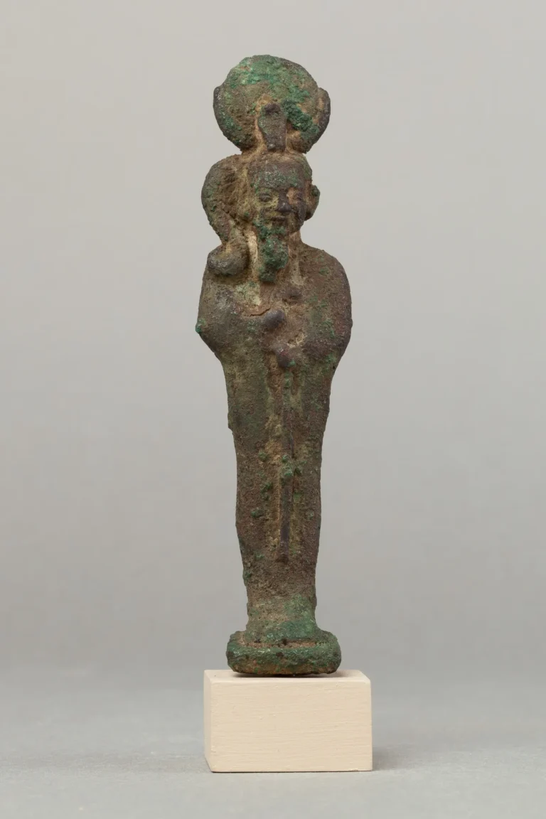
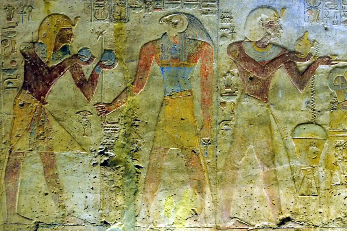
That wording is the crucial detail. A royal name alone would show that the area was active during the reign of Ramesses II. A reference to Horus is also not enough by itself, since the god was worshipped across Egypt. The combination of the king, the god and the city name provides a much tighter link between the monument and the place the excavation team is investigating. Horus also belonged to a wider religious system in which kingship and solar power overlapped; our guide to Ra, the ancient Egyptian sun god traces that part of the Egyptian story.
The Egyptian Ministry of Tourism and Antiquities has described the discovery as strengthening the hypothesis that Tell Abu Saifi was part of Mesen. The ministry has not presented the result as a completed identification. Archaeologists still need to establish where the lintel originally stood, how it relates to the surrounding structures and whether further inscriptions confirm the same location.
That caution is important in archaeology. Stones were reused, buildings were rebuilt and religious monuments were sometimes moved. A lintel found inside a later wall can preserve the name of an earlier building without sitting in its original position. In this case, however, the inscription arrives alongside a broader set of architectural clues rather than standing alone.
The site is larger than a single temple
Earlier excavations at Tell Abu Saifi had already revealed a substantial mudbrick wall that was interpreted as part of a temple complex. New work has changed that reading. The wall now appears more likely to be an outer enclosure, with gates, rooms and different building phases contained inside it.
The layout is beginning to look like a working settlement rather than an isolated sanctuary. Archaeologists have identified storage rooms to the north and service areas to the south, while a more protected sacred space lay deeper inside the complex. The team has also reported stone roads and other remains that help show how people, animals, supplies and military units moved through the site.
This kind of evidence is easy to overlook when a discovery is reduced to a single spectacular object. A royal inscription can attract the headlines, but walls, doorways, storage spaces and roads reveal how a place functioned. They can show whether a site served as a temple, a fort, a town, a supply station—or several of those things at different times.
The Way of Horus gives that question a wider setting. Egypt’s northeastern frontier was not an empty strip of desert. It was a managed landscape of forts and stations through which armies, officials, merchants and travellers passed. A city connected with Horus at this point in the route would have had religious meaning, but it may also have played a practical role in controlling the frontier.
A city with a long afterlife
The remains at Tell Abu Saifi do not belong to one moment. The site appears to have reached an important phase during the Ptolemaic period, centuries after Ramesses II. Later, parts of it were reused as a Roman military installation, with evidence for barracks or administrative activity dating to around the third century CE.
After that, the character of the site changed again. Roman occupants quarried stone from the ruins and used lime-burning kilns to process it. That later industry helps explain why a place that once had monumental buildings can survive in a damaged and confusing form. Blocks may have been taken apart, walls cut through and older inscriptions carried into new construction.
The pattern is familiar across the ancient world. At Britain’s Brading Roman Villa, later activity helps archaeologists reconstruct how a complex changed long after its first construction. In Egypt, the same principle applies on a much larger scale: a temple or settlement could be expanded, abandoned, mined for materials and occupied again without losing every trace of its earlier life.
It is also why the excavation needs to be read as a sequence. The Ptolemaic and Roman layers do not erase the Ramesside evidence, but they can hide it, cut through it or move it. Separating those phases is what will allow archaeologists to decide whether the lintel belonged to a local temple at Mesen or arrived from somewhere nearby.
What this changes about Mesen
The new find does not suddenly turn a historical name into a fully mapped city. What it does is narrow the argument. Before the inscription, the case rested on geography, earlier finds and the possibility that Tell Abu Saifi belonged to the network of places associated with Mesen. Now, the site contains a monument that names the city in connection with Horus.
That gives archaeologists a stronger target for the next stage of work. They can search for matching fragments, doorways, foundations or additional references within the enclosure. They can compare the stone’s style and language with other Ramesside material from the eastern frontier. They can also test whether the settlement’s roads and storage areas fit the role expected of a major religious and military centre.
The question is similar to the one raised by recent work at Göbekli Tepe: how much can a monument tell us about the people and institutions around it? A carved name identifies a place, but the surrounding buildings show how that place was used. At Karahan Tepe, sealed spaces and changing architecture have made the site’s history more complicated, not less. Tell Abu Saifi may prove equally layered.
The evidence still has to be tested
The ministry’s wording is measured: the discoveries strengthen the hypothesis that the lost city of Mesen was located at Tell Abu Saifi, but further excavation is needed. That is not a weakness in the story. It is the normal point at which archaeology becomes most useful, because the next discoveries can test the interpretation rather than simply decorate it.
The team will need to document the lintel’s findspot, examine its joins and weathering, and place it within the site’s architectural phases. More inscriptions would be especially valuable. So would evidence that links the named cult of Horus to the enclosure itself rather than to a monument brought in from another settlement.
If those lines of evidence converge, Tell Abu Saifi could become the best-supported location yet for Mesen. It would also give a clearer picture of how Egypt’s eastern frontier worked: not as a line of forts cut off from ordinary life, but as a connected landscape where temples, workshops, storehouses, soldiers and travellers occupied the same route.
For now, the most honest conclusion is also the most interesting one. A broken stone has put the name of Mesen back into the landscape, and the buildings around it may show what that name meant in practice. The next season of excavation will determine whether this is the city itself—or the strongest sign yet pointing archaeologists toward it.
Sources and further reading
- Egypt Today: New Tell Abu Saifi discoveries strengthen the case for Mesen
- Archaeology Magazine: Lost city of Mesn and the Ramesses II find
- Saudi Press Agency: Discoveries at Tell Abu Saifi
- Egyptian Ministry of Tourism and Antiquities: Discoveries in Sinai
- Wikimedia Commons: Beit el-Wali temple relief in Nubia