Archaeologists have found evidence of ancient Maya cultivation fields under the wetlands of southern Mexico, which suggests that they grew a surplus of food, practicing a sophisticated market economy in ancient times. The ancient Mayan civilization extended through parts of Mesoamerica, encompassing Mexico and Central America.
Maya structures are hidden beneath the forest
The oldest evidence of Mayan civilization dates to around 1800 BC, but most cities flourished between 250 and 900 AD. When Spanish Conquistadores arrived in the 1500s, some larger cities were abandoned or destroyed. Nicholas Dunning, a professor at the University of Cincinnati, was part of a research team that found evidence of cultivation in irregularly shaped fields in Mexico that followed the paths of canals and natural water channels in Laguna de Terminos, the Gulf of Mexico.
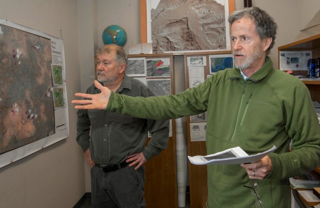
Archaeologists hope to find evidence of a human population when the excavations began. Extensive farmland suggests that the ancient Maya grew a surplus of crops, especially cotton for the renowned textiles marketed throughout Mesoamerica. “It was a much more complex market economy than the Maya are often given credit for,” Dunning revealed in a statement.
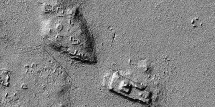
Satellite images revealed a patchwork quilt of blocks along drainage ditches, suggesting they had been constructed in ancient times. The archaeologist also studied the images NASA took of the region using LIDAR technology, which can represent the contours of the soil beneath the canopy of trees and vegetation. “That’s the magic of LIDAR,” UC assistant research professor Christopher Carr said.
What LiDAR can see
IMAGE SLIDER: University of Cincinnati researchers used satellite images (left) and Lidar images (right) to identify and confirm the locations of manmade structures such as ancient building foundations, irrigation canals, and farm fields in Mexico’s Yucatan Peninsula. Graphic/ University of Cincinnati Geography.
A site that remained largely unknown
This analysis confirmed Dunning’s suspicions: the area was covered by ancient crop fields. The site remained unknown to researchers until seven years ago when the locals contacted archeologists about the site. “A forester working in the area said there seemed to be a network of ancient fields,” Dunning said.
“I looked on Google Earth and was like, ‘Whoa!’ It was an area in the Maya Lowlands that I’d never paid any attention to. And obviously, not a lot of other people had, either, from the perspective of looking at ancient agriculture.” LiDAR technology offers scientists a never-before-seen picture of the Earth’s surface, even after centuries of jungle growth hides the remains of ancient structures.
“It appears they developed fairly simply from modifications of existing drainage along the eastern edge of the wetlands,” Dunning said. “They probably deepened and straightened some channels or connected them in places, but then further expanded the fields with more sophisticated hydro-engineering.”
Have something to add? Visit Curiosmos on Facebook. Join the discussion in our mobile Telegram group.


